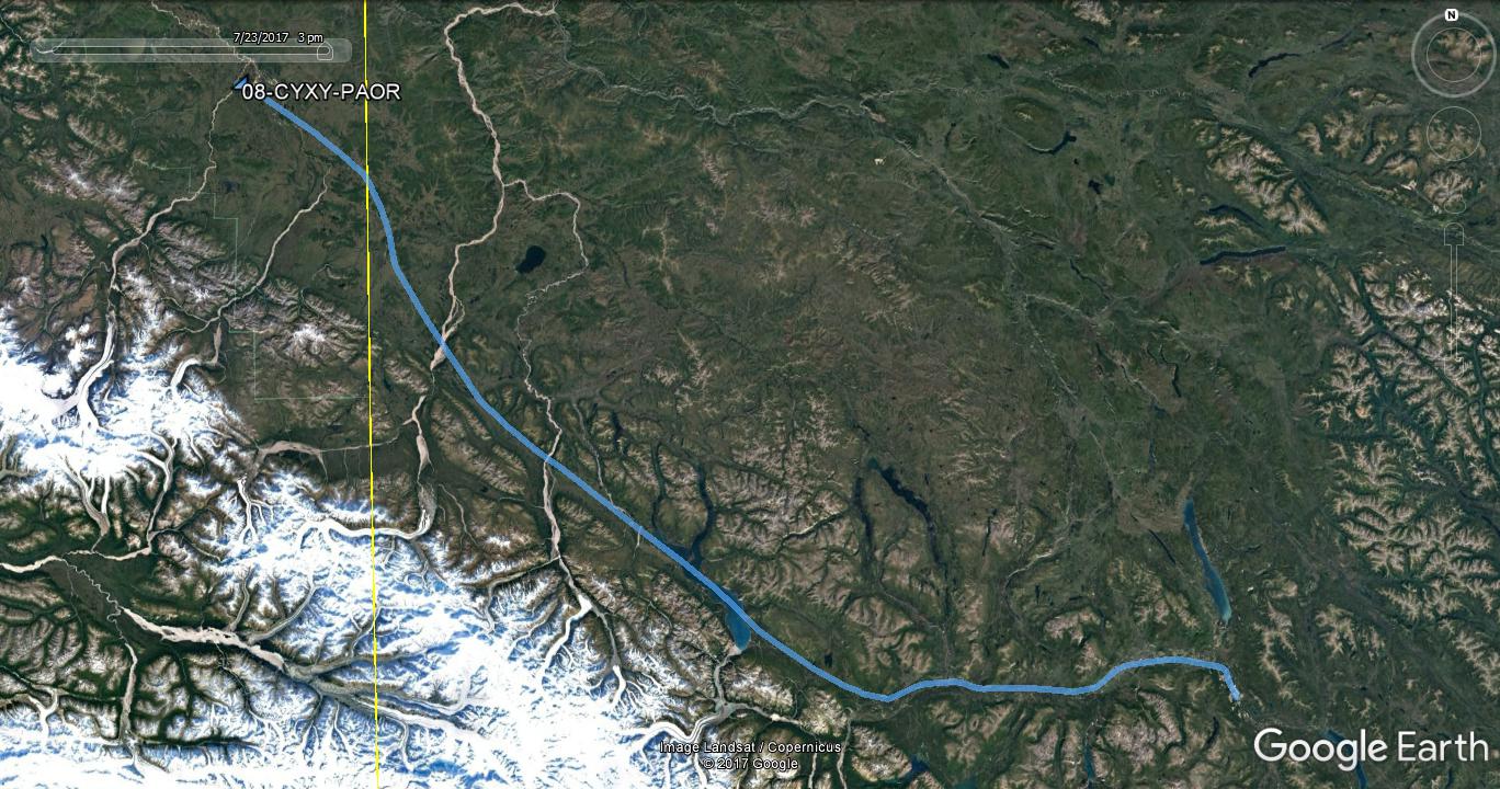
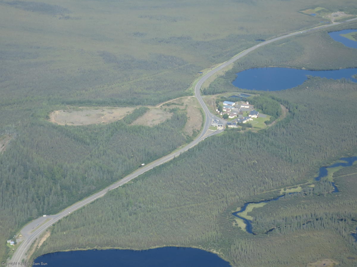
In the morning, I filed my international flight plan, made the required eAPIS notification, and called the Alcan customs office for the border crossing into Alaska. Notwithstanding the eAPIS filing, it's made clear that an ETA is supposed to be coordinated by phone with the actual customs office at least 2 hours prior to arrival. For aircraft following the Alaska Highway, Northway Airport is the port of entry. The CBP website lists the hours as 8A to 4P, but a CBP officer is dispatched out of the Alcan office 30 minutes away, so the effective arrival window is more like 9A to 3P. I coordinated arrival times with the two Bonanza pilots who were also entering Alaska this morning, so the officer only needed to make one trip. I figured he'd be happer that way.
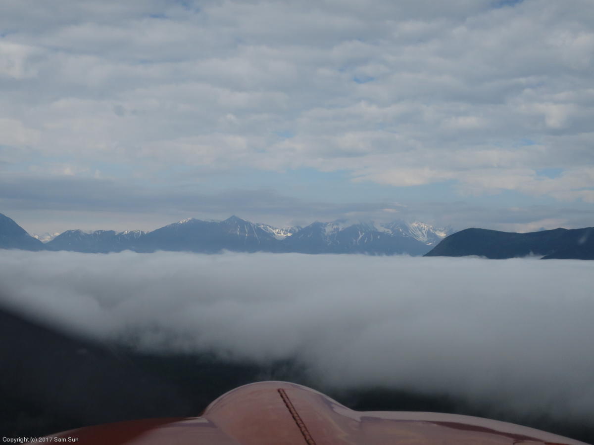
We departed Whitehorse with 1500' ceilings, with improving weather forecast enroute. It felt a little claustrophobic under the clouds initially, but the Alcan Highway was easy to follow west until the clouds started breaking up. I got a few looks at the back side of the St. Elias Range - it was how I imagined Alaska should look!
| Following the Alaska Highway | A peek at the mountains |
|
|
One of the stated US border crossing requirements is to be on a discrete squawk code. I queried Canadian FSS (Kamloops), Whitehorse Tower, and Whitehorse Radio enroute and none of them were prepared to give me one. I was finally able to reach Northway FSS and they advised not to worry about it; there was no radar coverage out there anyway! Not unexpected, but there was no radar coverage where I crossed from Washington into Canada either, and Seattle FSS had been very clear I should still have a code.
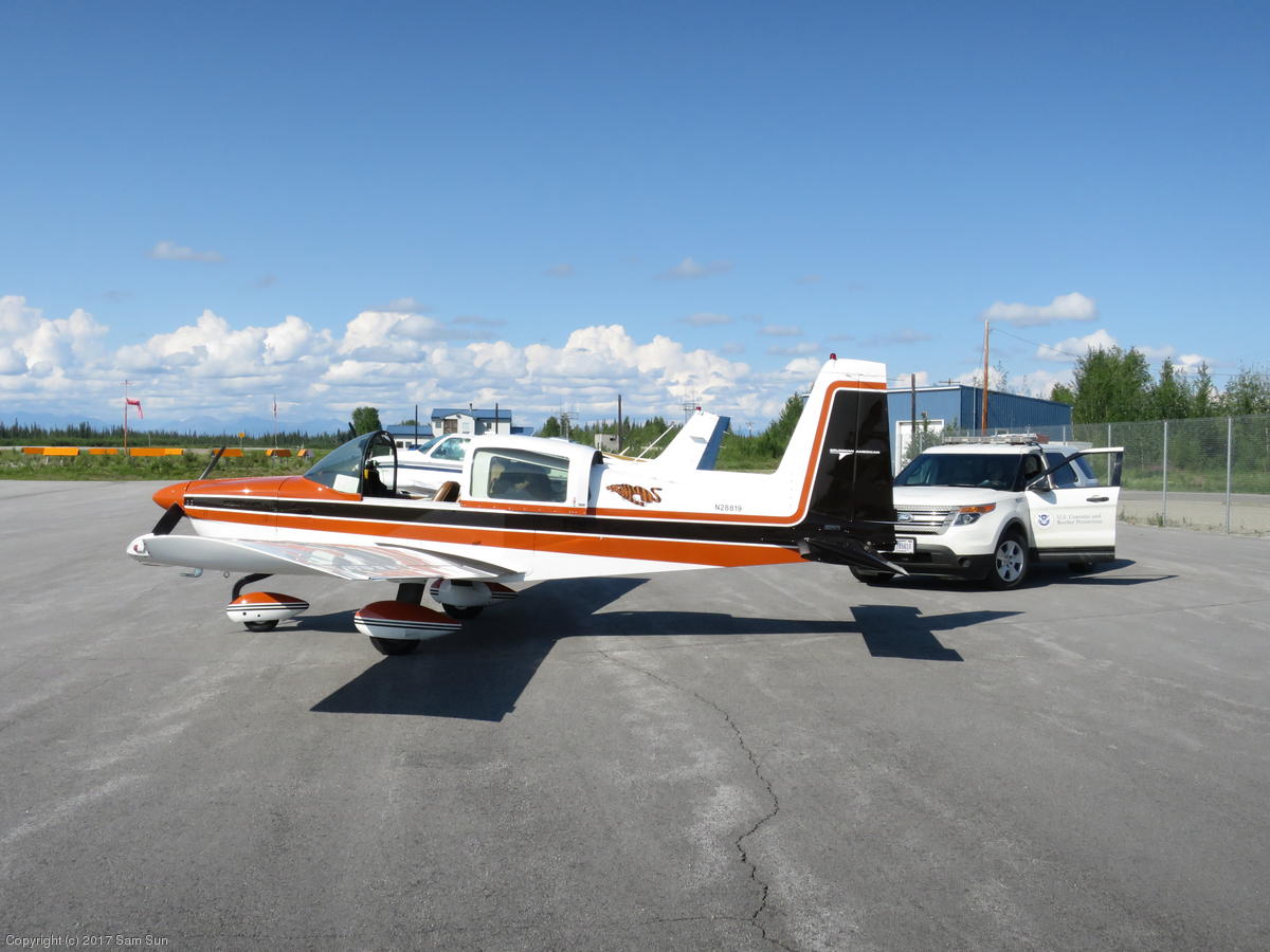
The customs stop at Northway was routine. The customs officer visited each of us in turn, asked a few questions, looked at my pilot license, medical, passport, and scanned the plane with a Geiger counter. None of us had to unpack. (Last year re-entering the US at Oroville WA, I was asked to unload the plane for inspection.)
| Alcan Port of Entry on Alaska Highway | Customs at Northway Airport |
|
|
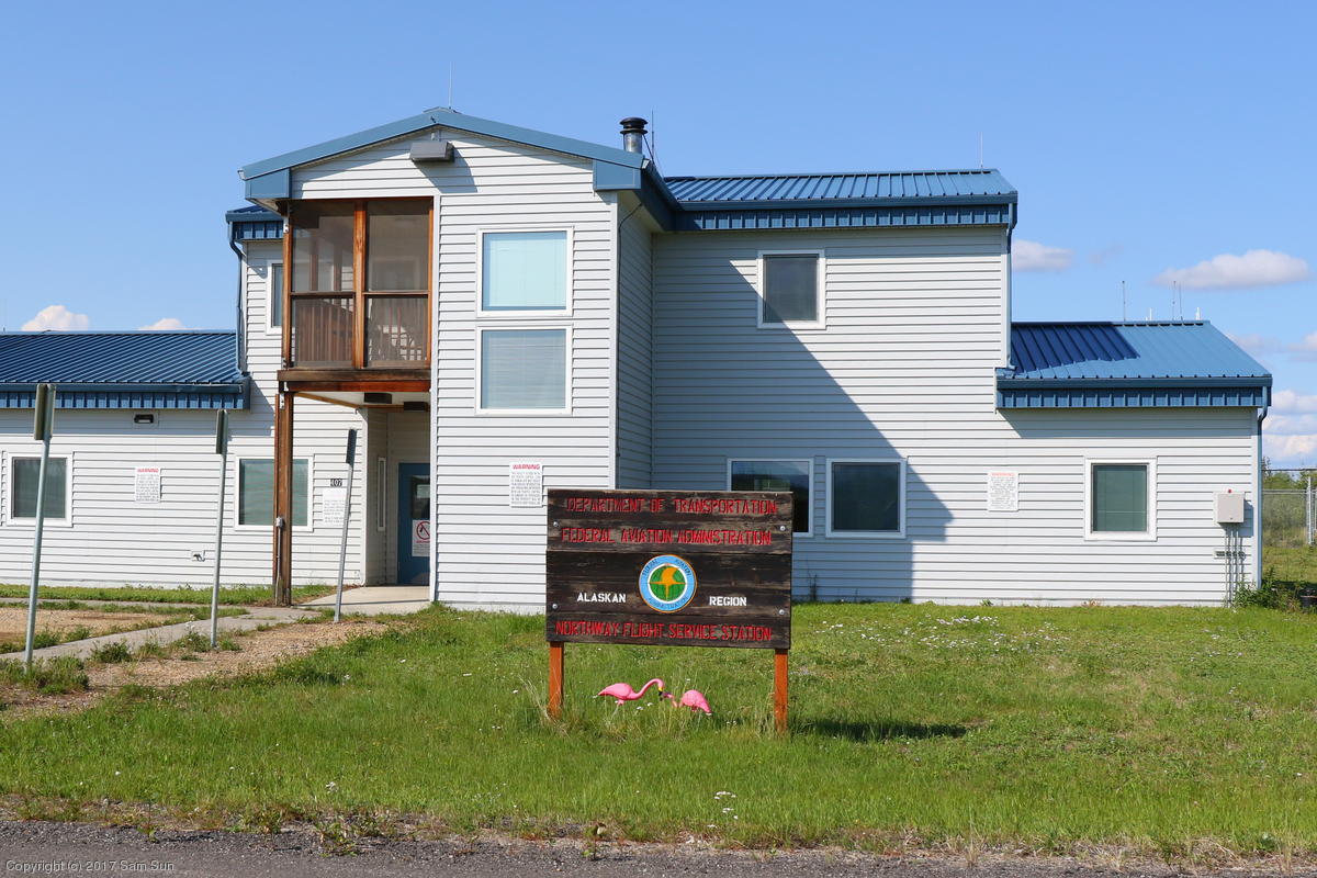
Alaska's Flight Service Stations are still run by the FAA and you can walk in to get in-person briefings. Many of them are at the more frequently visited uncontrolled airports, where they often share the CTAF frequency, and provide an ATIS equivalent termed AFIS (Automatic Flight Information Service). Conveniently, they'll open or close your VFR flight plan for you as you announce takeoff or landing. Inconveniently, it led to my forgetting to close my flight plans at a couple towered airports later. All of us stopped in the Northway FSS to chat with the briefer and have a look at weather for the next leg.
Apart from the Flight Service Station, there's no fuel or other services at Northway. The FBO closed a few years ago due to environmental contamination and other issues with the fuel system. The nearest fuel and lodging are 35nm further along at Tok.
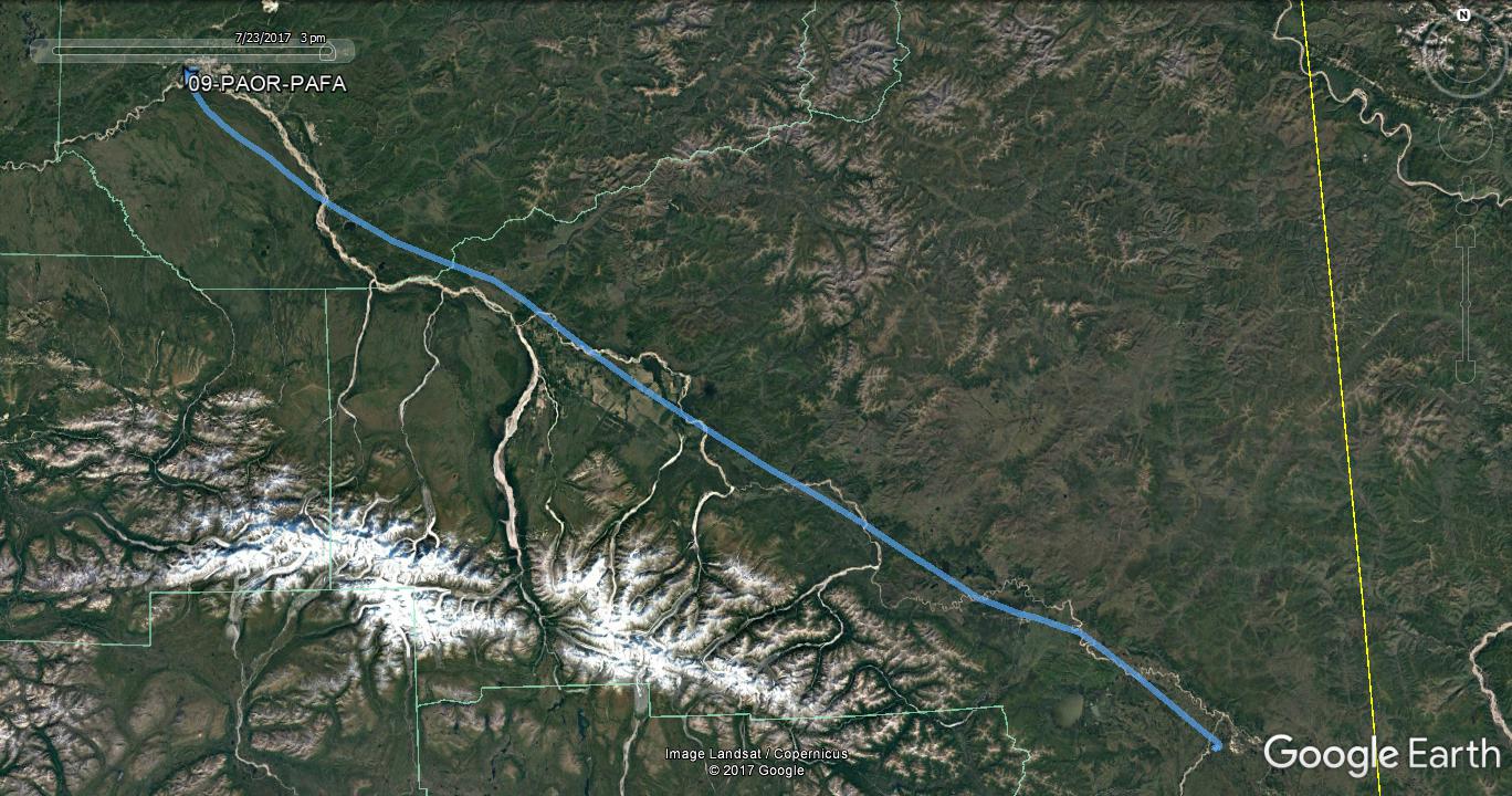
From there, I parted ways with the Bonanza group. I was going on to Fairbanks and they were headed for Anchorage. It was a pleasant flight along the Tanana River valley, but buildups hid a lot of the surrounding mountains from view. There's an advertised advisory frequency "Eielson Range Control" for the MOAs in the valley, but nobody answered when I called.
| Northway Flight Service Station | Final approach at Fairbanks |
|
|
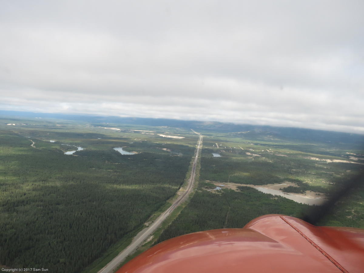
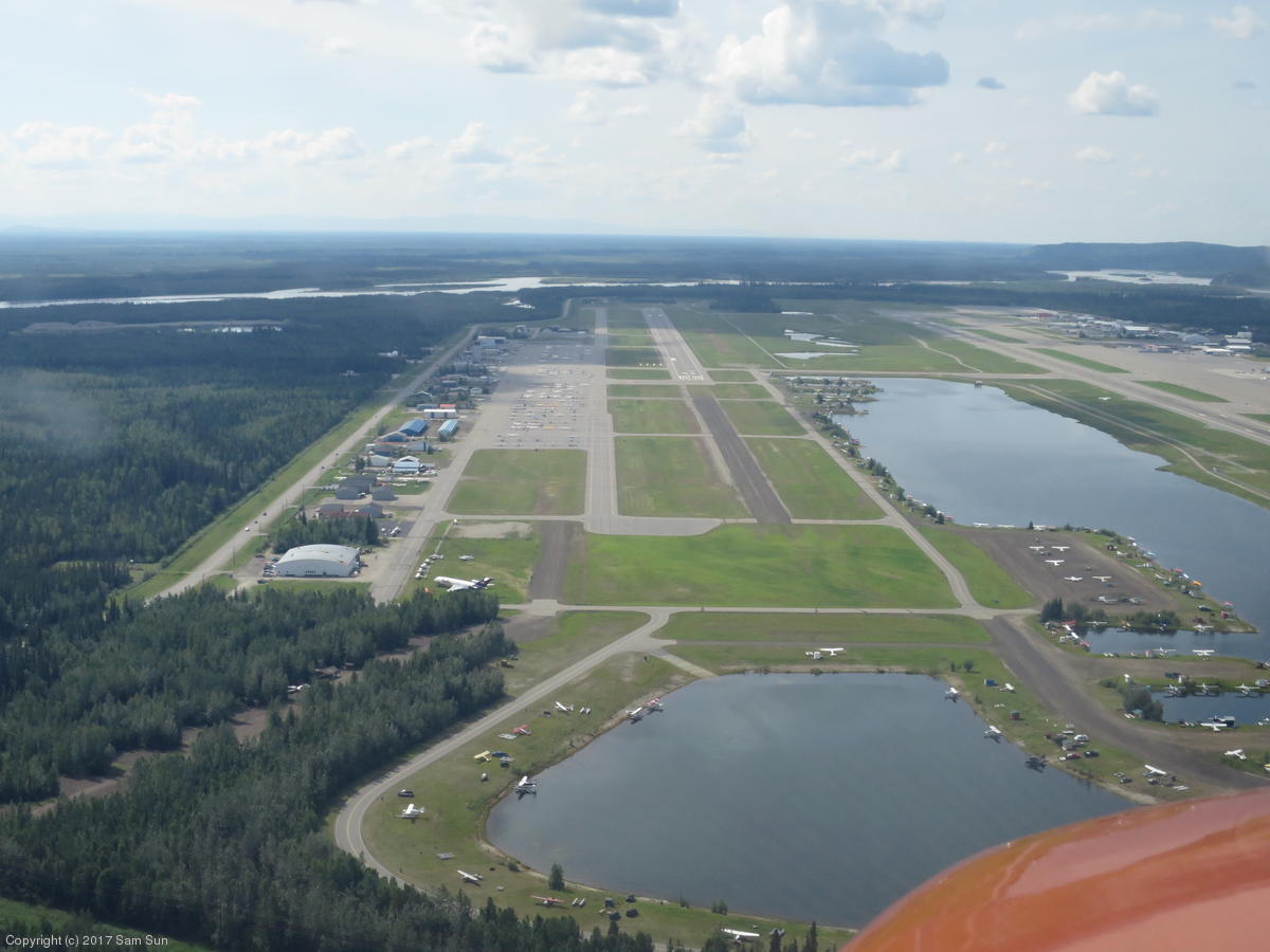
Arrival at Fairbanks provided an Alaskan twist. For a non-bush pilot such as myself, there were two useful runways: 20R, used primarily by the commercial aircraft, and the smaller 20L on the east side for the GA ramp. On initial contact, I made a typical statement to the extent of "... landing with information Echo." The controller asked me where I was landing, which I interpreted to mean where on the field I was going, so I replied "east ramp for GA". The controller then clarified by asking if I wanted 20L, the ski strip, or the float pond. Oh. I hadn't even figured the ski strip was in use during the summer, but some of the bush planes do.
I suppose the Tiger is a bit of an unusual aircraft for tooling around Alaska. On a separate occasion, someone heard "Grumman..." on the radio and asked if I was an Albatross. Sorry, I'm only equipped for land landings with "normal" tires, hidden under wheelpants no less.
I hadn't made any prior arrangements for ground transportation, and my initial attempts went poorly. I called two of the national chains, but they didn't want to spare a guy to pick me up from the GA side of the field. A local company was willing to pick up but was charging double the rate. Luckily, I got some assistance from the AOPA Alaska Regional Manager, Tom George, who I had been in contact with prior to the trip. We had tentatively arranged to meet if schedules allowed, and he found me while I was visiting the FSS on the field.
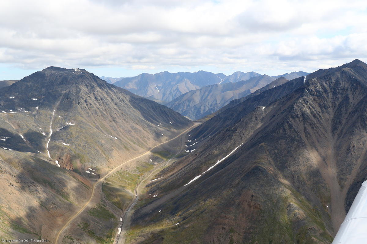
We wound up chatting for several hours about aviation and aviating in Alaska. He was quite helpful and enthusiastic about sharing his insights on routes and weather for my various intended destinations. Among other notes: Atigun Pass (on the way to Deadhorse) can be tricky in marginal weather as it's narrow and makes a couple sharp turns; Anaktuvak Pass is lower and wider, but far out of the way and better suited if flying direct to/from Barrow; There's an uncharted pass west of Atigun that's about the same elevation but provides a little more maneuvering room (Oolah Pass according to my topo maps, leading to the Itkillik River) ; On the way into Valdez, going the long way down the Tasnuna River valley offers lower terrain than through Thompson Pass.
For lodging, he suggested the Sophie Station Suites, which turned out to be an excellent recommendation. Not only were they less expensive than the La Quinta I had been considering, but they offered airport pickup and dropoff for checkin/out, as well as a shuttle between their three facilities and a few points of interest in town.
It was just as well I didn't get a rental car. I noticed as it was getting towards midnight that the sun was still out, and I would have probably been out driving around somewhere exploring instead of getting ready for the next day's flying.
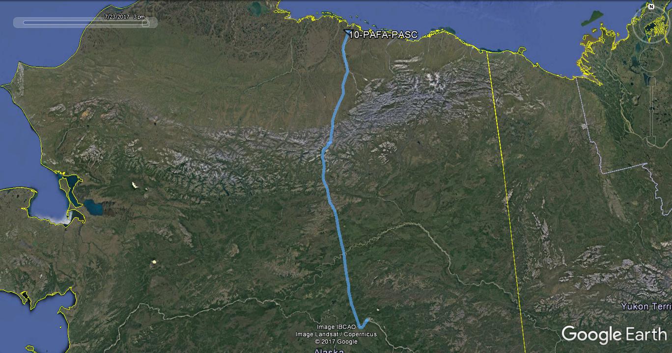
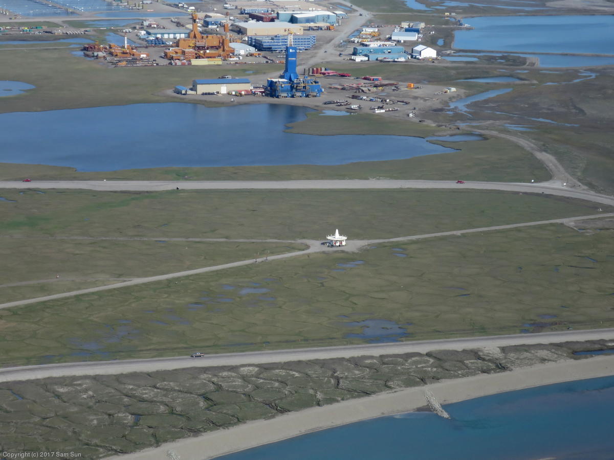
It was a nice morning in Fairbanks and I was very tempted to go fly around Denali - who knew if the weather will be this nice on my way south? However, that would have added 2 hours to a 4 hour flight to Barrow, so I decided to pass. I was taking the longer route to Barrow via the Dalton Highway, Atigun Pass, and Deadhorse, where I planned to refuel. My thinking was that while I could easily make it to Barrow direct, I'd have few diversion options with my available range, and if Barrow happened to be out of gas, I'd have no fueling options in range. From Deadhorse, I could fly to Barrow and back to Deadhorse if necessary.
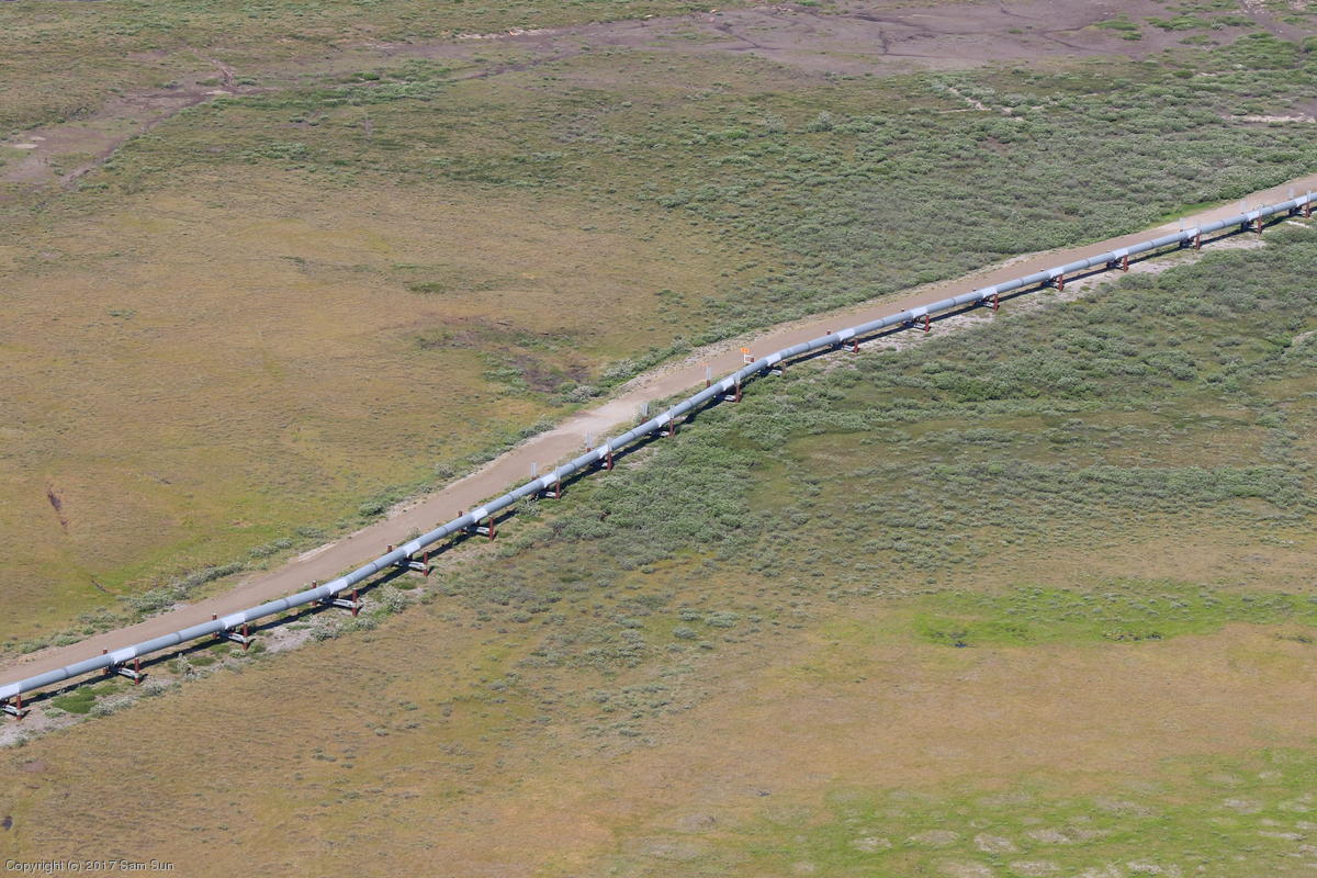
On June 20th, the Trans-Alaska Pipeline celebrated its 40th year of operation. Over the course of my trip, I'd wind up flying along much of its length. I intercepted the pipeline and the Dalton Highway north of Coldfoot and followed it the rest of the way to Deadhorse. I had been under the impression that most of the pipeline was above ground, but in fact, nearly half is underground, even in its northern portions. There was a decent amount of traffic on the road to keep me company on the way.
It was a relatively warm day in Deadhorse and the mosquitoes were out in force, but thankfully they didn't appear to be particularly aggressive. The fueling attendant offered to drive me around town to see one of the oil rigs, but I declined as I had a guide in Barrow waiting on my ETA.
Despite the fact that the Alaska Chart Supplement listed fuel availability at Deadhorse only as 100 (green) - which I had verified could be used in my aircraft - they carried 100LL (blue) and none of the green stuff.
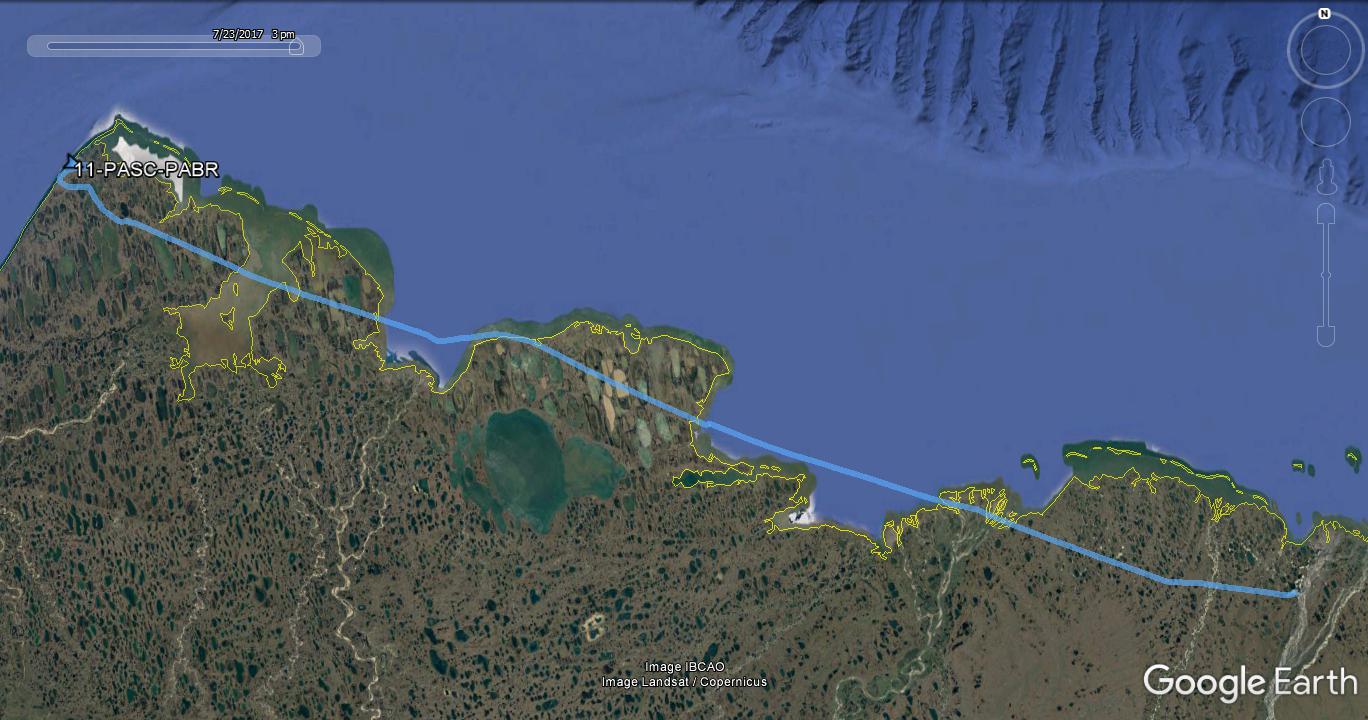
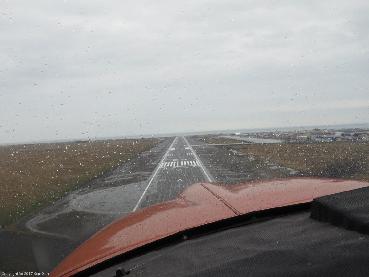
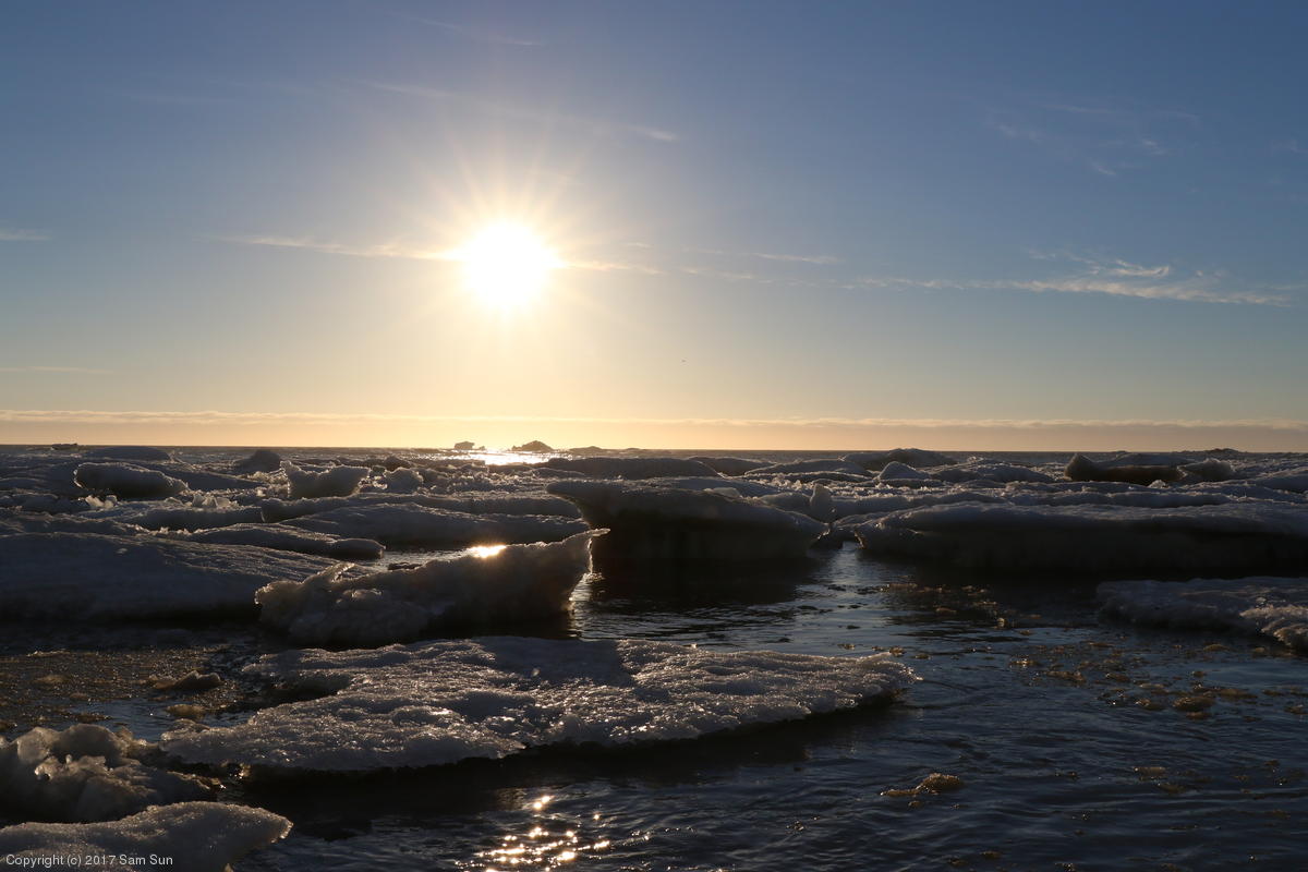
Once I left the oil rigs behind, things felt much more desolate on the way to Barrow. I flew along the coastline of the Arctic Ocean and could see the pack ice a short distance offshore. As I proceeded northwest, the weather slowly deteriorated - 9000' ceilings at Harrison Bay lowered to 5000' later on, and it started raining. I got a wet and windy welcome to Barrow. The FSS directed me to transient parking at the base of their building at the western corner of the ramp.
| Atigun Pass | Trans-Alaska Pipeline |
|
|
| VOR and oil rigs at Deadhorse |
Sea ice in Harrison Bay (Beaufort Sea/Arctic Ocean) |
|

|
I have a habit of tuning VOR stations enroute - mostly for something to do, though it's always nice to see that the VORs agree with the GPS on my position. I wasn't receiving the Barrow VOR on my way in - I assumed initially due to distance, but not even when closer. I mentioned it to the FSS when I arrived, and noticed that the next day they'd confirmed it was out of service and NOTAM'd it as such. It's not clear if it's been out of service continually since then, but it was out as of this writing (Aug 2)
By later in the trip, I'd concluded that half the VORs in Alaksa must be NOTAM'd out of service. Perhaps they're obsolete in the GPS world. On the other hand, I was flying in a plane with one legal IFR GPS, and the COM radio on that unit had already quit on me... a bit of backup never hurts, though as came up in conversation with Tom, the cost is certainly a consideration.
The sun came out as I was wrapping up dinner around 10P. Not sure whether I'd have another chance to see the midnight sun, I duly waited until midnight to record the moment. Technically, the sun didn't reach its lowest altitude at due north until around 2:30A, but I wasn't going to stay up for that.
| Final approach at Barrow | The midnight sun! |
|
|