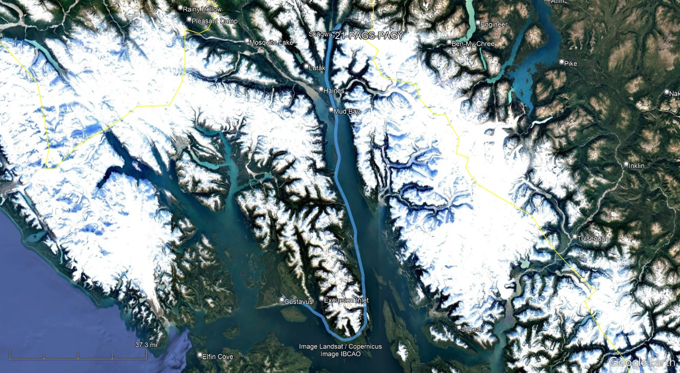
I debated whether I should visit Skagway or get started on the way home. By this time I had been out and about for more than 3 weeks, and while still enjoying Alaska, also knew I had several days of flying to get home. The couple days in Skagway meant I'd probably trade VFR weather heading south for IFR weather. In the end, I elected to make the stop, and was glad I did.
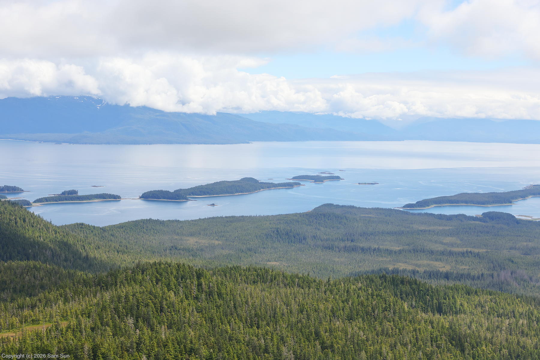
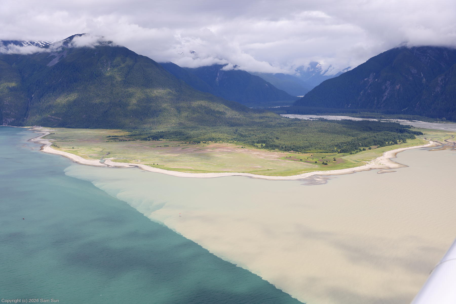
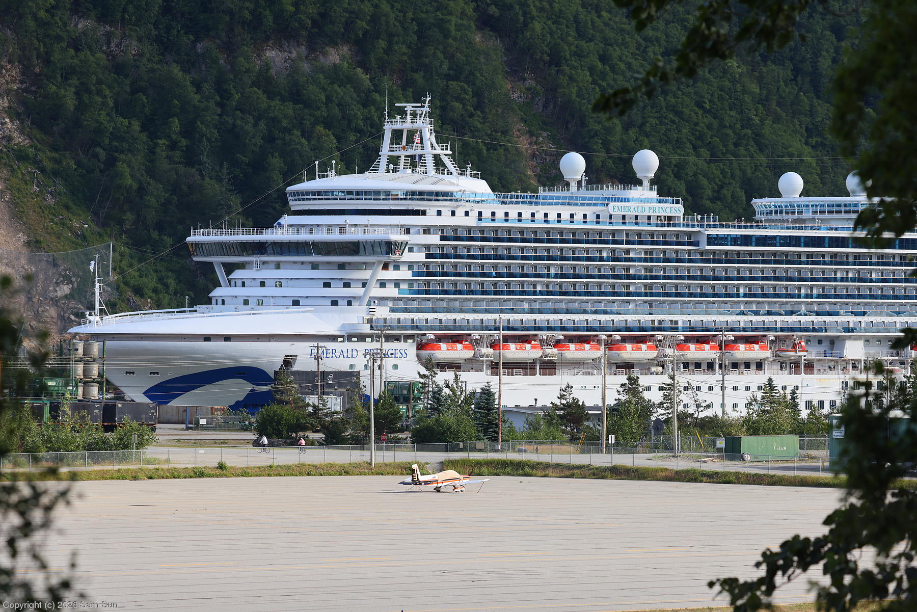
The weather departing Gustavus was the opposite of that coming in - a nice day with a few scattered clouds. I followed the same peninsula coast I used on my gloomy arrival, this time enjoying the scenery. Turning the corner, I flew up the east side of the Lynn Canal. I was only flying at about 1500', not because of ceilings this time, but to watch the coastline go by. I was hoping to see a bear or other wildlife on the coast, but no luck. The halocline where the silty water from the Katzehin River met the canal was remarkable. As I approached Skagway, there was quite a bit of helicopter traffic along the west side of the canal doing sightseeing flights. Four cruise ships were in port, each one dwarfing the town.
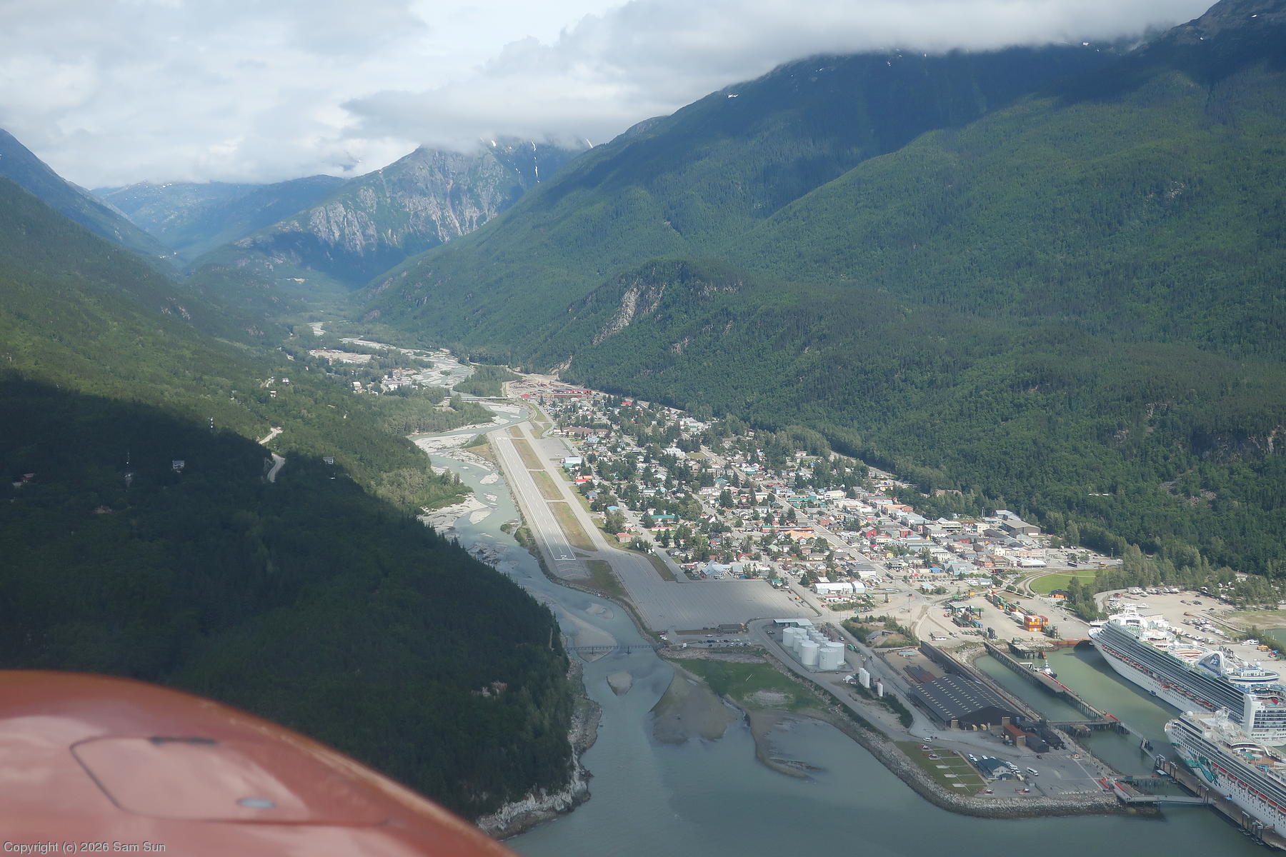
Skagway Airport lies near the mouth of the river in a steep canyon. It's right traffic for Runway 20 because the terrain approaches 1000' on the left downwind if you're about 1/2 mile abeam the airport. On the right downwind it's only about 700'. It's a scenic approach if you set aside the proximity of the terrain. I flew up the canyon a short way before making my base and final turn. While there was a stiff breeze, it wasn't turbulent. I settled down gently and taxied to the rather large and empty ramp.
| The view across Lynn Canal |
 |
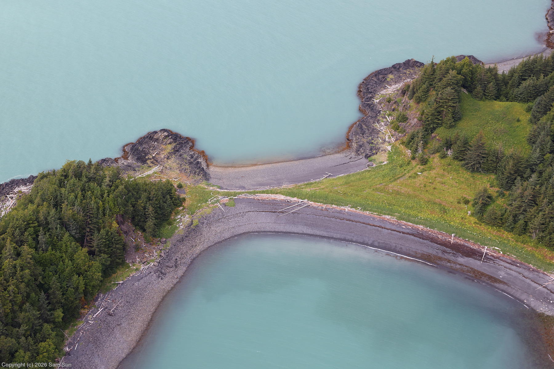
| Isthmus at Dalasuga Island |
 |
| Katzehin River and halocline |
 |
| Right downwind for Runway 20 at Skagway |
 |
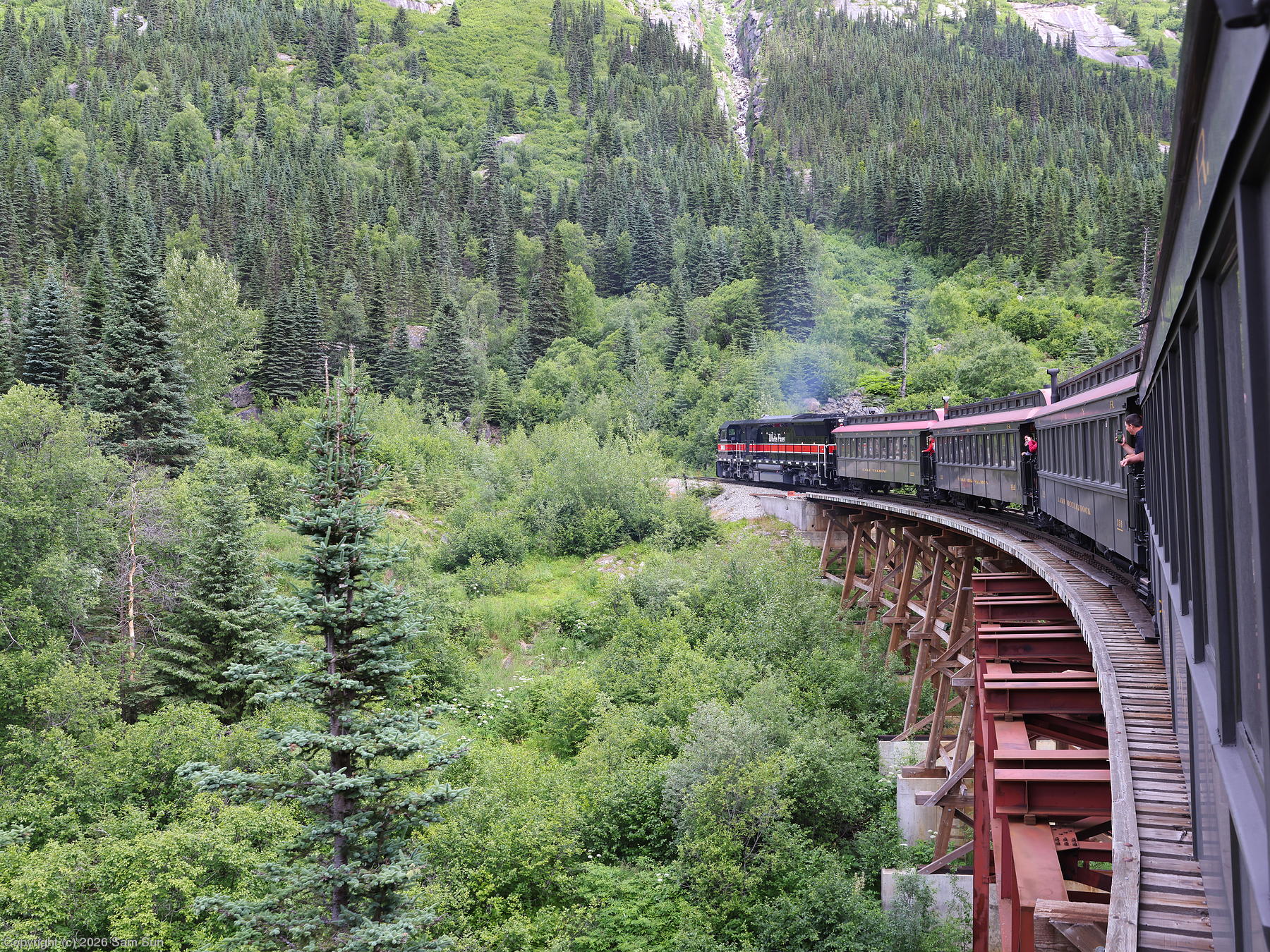
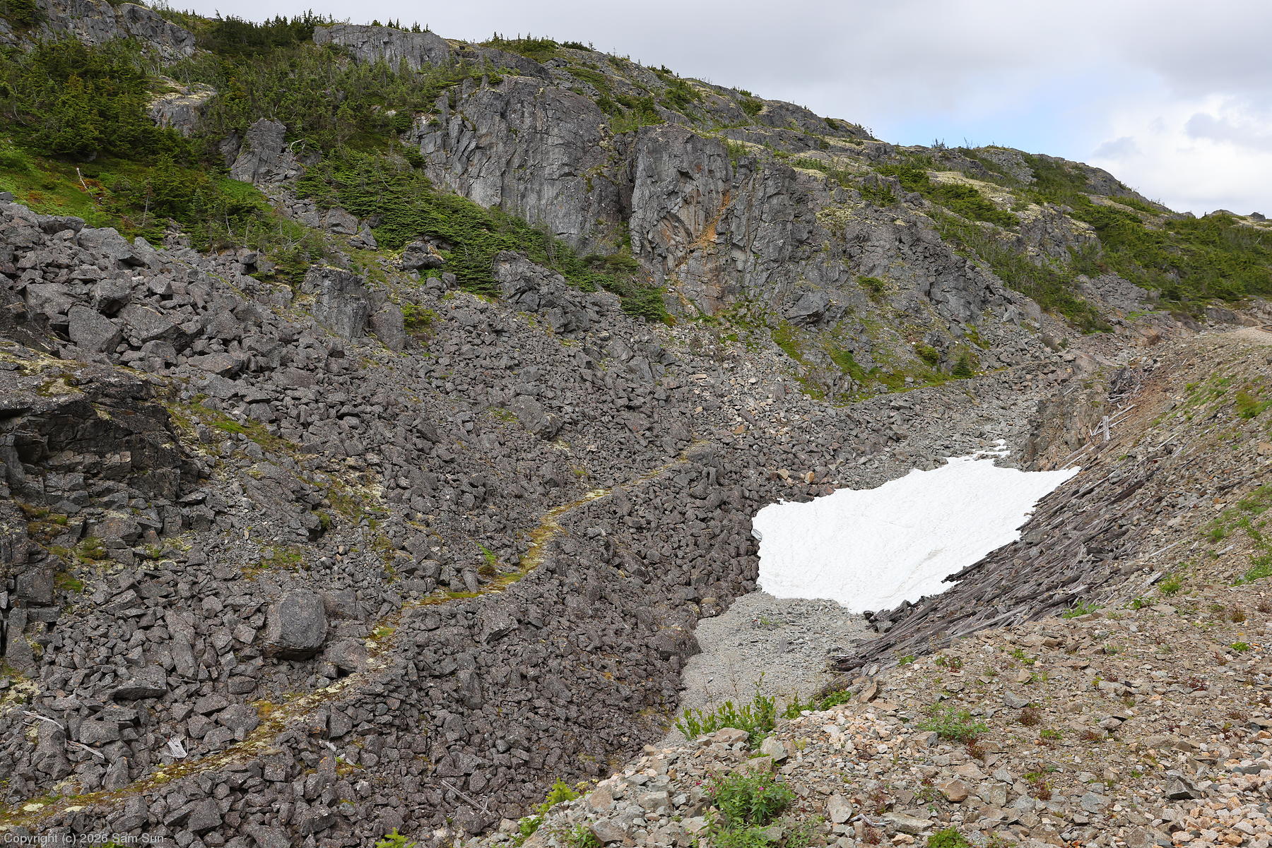
Having started my trip learning about the Klondike Gold Rush in Dawson City, it was perhaps fitting that I ended with a visit to one of the gateways of the rush at Skagway. In addition to visiting some of the historical exhibits in town, I took the (seemingly obligatory) ride up the White Pass and Yukon Route Railroad. Bits of the old White Pass trail were visible from the train, and I contemplated the harsh and difficult journey the prospectors had.
| A bit of perspective |
 |
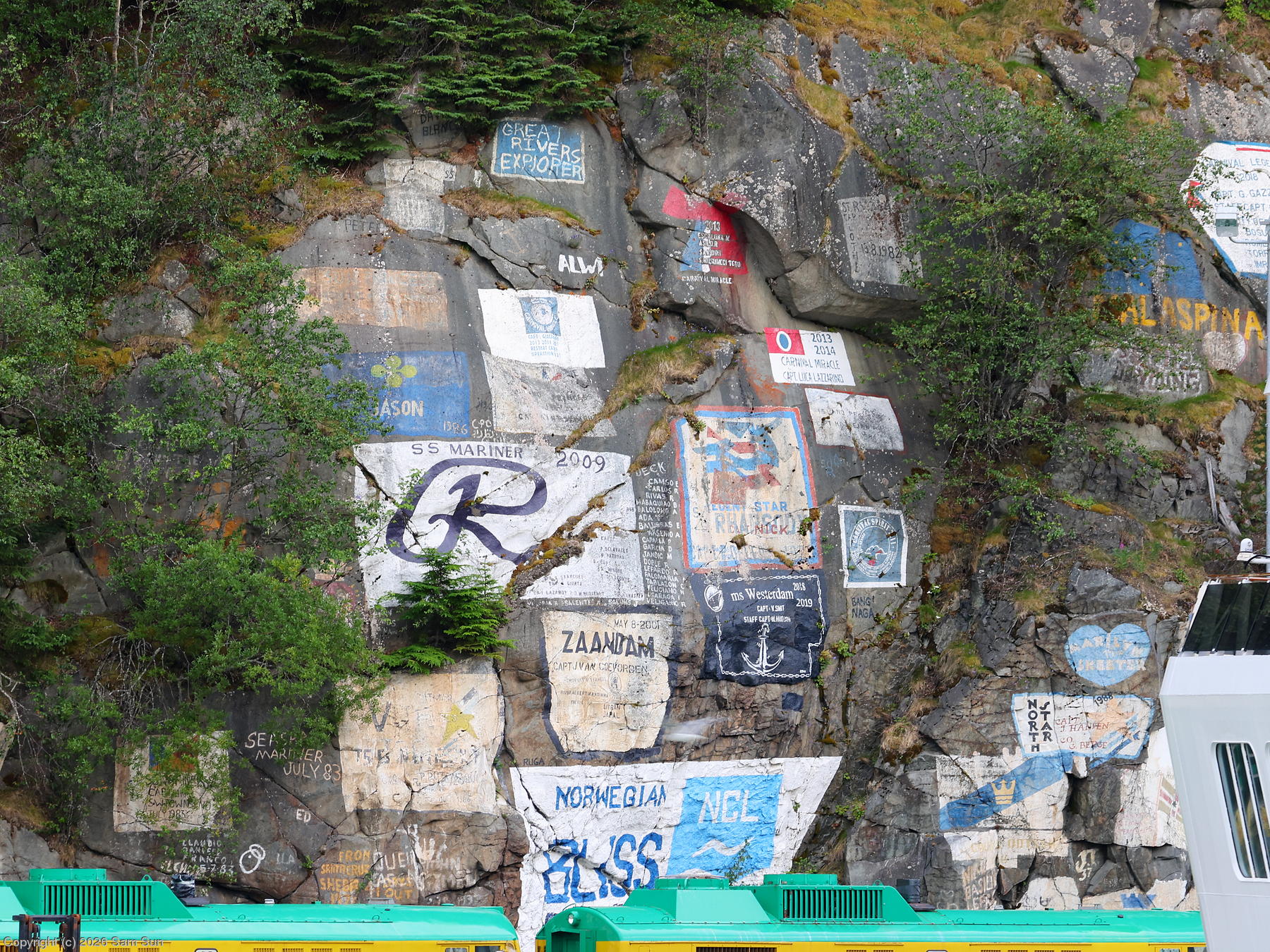
| Ship signature wall |
 |
| White Pass and Yukon Route train |
 |
| White Pass Trail |
 |
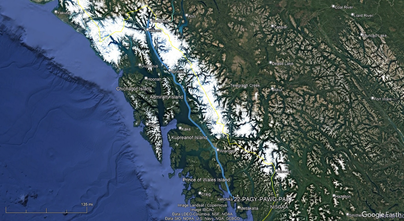
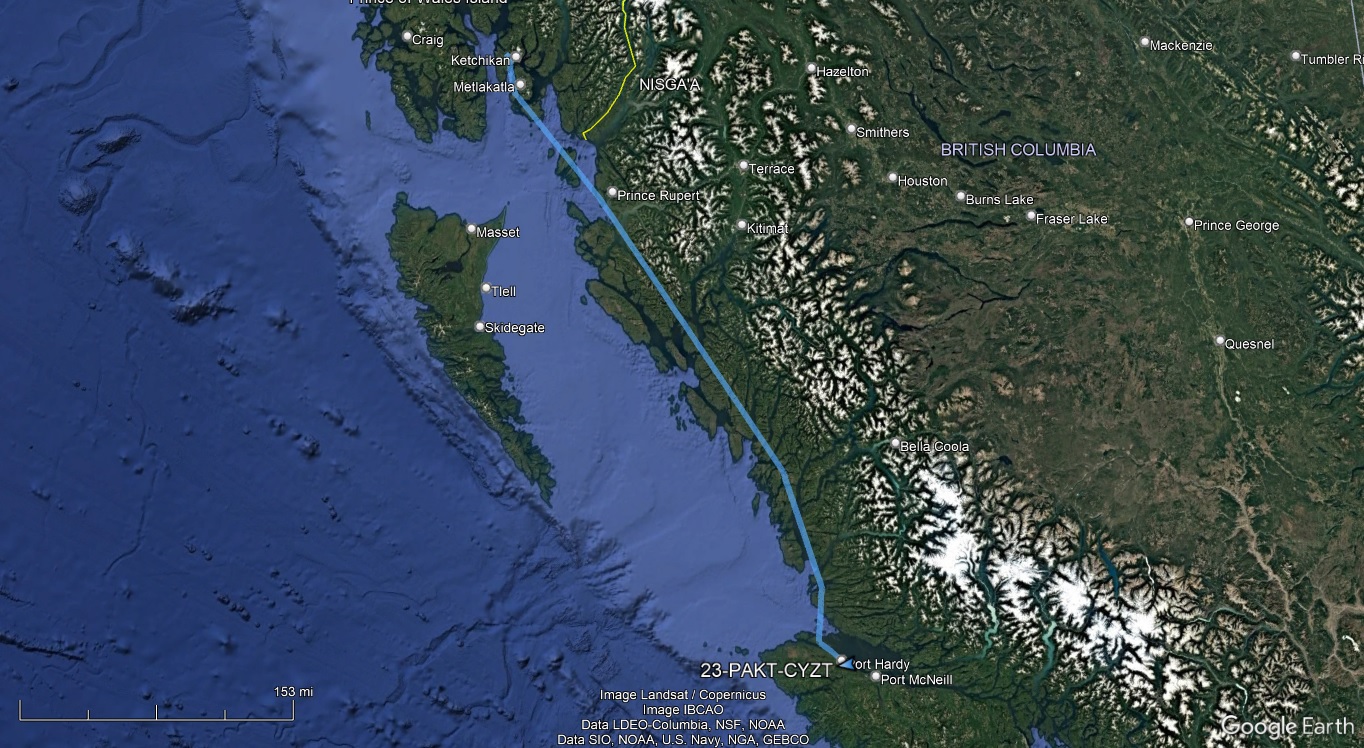
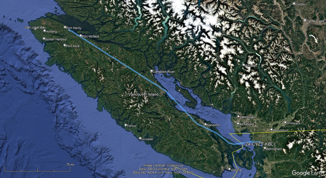
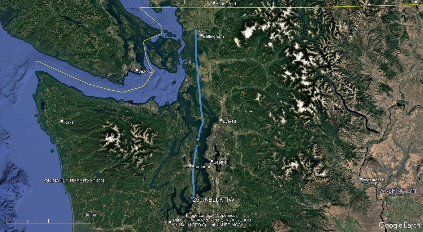
I had an ambitious schedule getting out of Skagway. My hope was to get to Washington by the end of the day. On my previous trip to Alaska, I overnighted in Ketchikan and flew Ketchikan to Bellingham non-stop to avoid the hassle of extra customs stops. This time, I'd have a 2 hour leg just to get to Ketchikan, and then with forecast headwinds for the flight south, I'd need a fuel stop at Port Hardy, at the northern end of Vancouver Island. That one fuel stop in Canada meant having to file an eAPIS departure with a 60 minute window, a CANPASS arrival with a 30 minute window, an eAPIS arrival to Bellingham with a 30 minute window, and a phone call to Bellingham CBP to obtain landing approval. Ugh. I wanted to pad my times so I wouldn't be rushed at the ground stops, but I also didn't want to put in excessive delays as it would just stretch out an already long day.
Similar to the Anchorage to Juneau flight legs, I planned to fly Skagway to Ketchikan VFR. Weather was forecast to be good as far as Juneau, then low ceilings and showers further south to Ketchikan. For the legs to Port Hardy and Bellingham I planned to fly IFR as the low ceilings would be more extensive and I couldn't risk deviating with the customs stops.
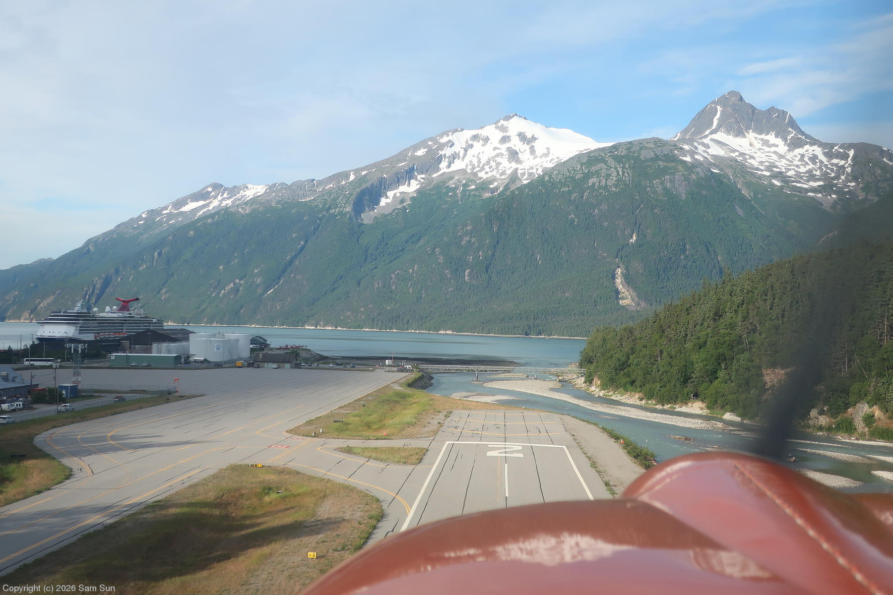
I made all the requisite filings and phone calls the day before, so I could be ready for an early start. The morning dawned bright and sunny, with stunning views of the mountains surrounding Skagway.
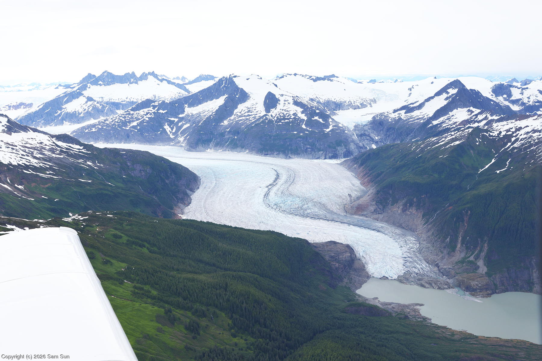
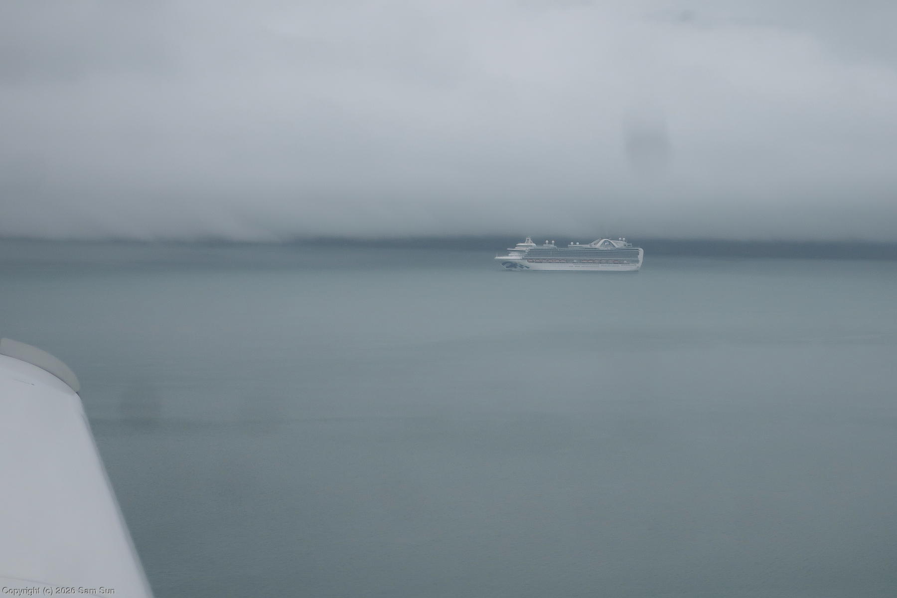
Things went more or less according to the forecast and plan. I was able to fly at 5500' along the mountains next to Lynn Canal until reaching Juneau, with a good look at Mendenhall Glacier. Then I had to progressively descend due to lowering ceilings. The terminal forecasts for the stations between Juneau and Ketchikan all indicated broken to overcast layers around 1500' to 2000' with 4+ miles visibility, but 20 miles south of Juneau I found myself following the shoreline of Stephens Passage at 300' wondering if I'd have to return to Juneau. A couple of other intrepid pilots were discussing the weather on the CTAF frequency. They were doing milk runs up and down the channel and had made a couple of trips that morning. It sounded like conditions were poor but passable around the area I was in and improving to the south, so I pressed on. 30 miles later, things did finally improve to the forecast 2000' ceilings.
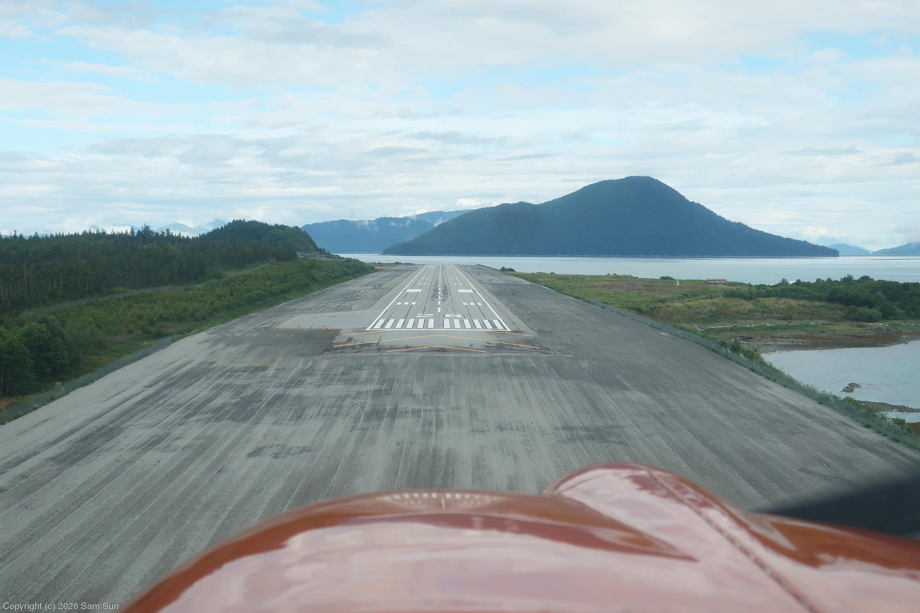
Before leaving on the trip, I noticed I was approaching 5000 landings in my logbook. If my tally was correct, it would be the next one. On a whim, I made a touch and go at Wrangell, as it seemed more unique than Ketchikan, which I had already visited before.
After fueling at Kechikan, I started up and called to pick up my IFR clearance to Port Hardy. I wondered how long it might take to get the release, as I was already at the later end of the customs window for Port Hardy, and had seen the recently departed Alaska jet waiting at the end of the runway for quite some time before getting their release. When Flight Service offered me an immediate release if I could copy the clearance while taxiing, I accepted, hoping it would be straightforward. It was - Ketchikan 6 departure, then as filed (PAKT ANN WAZUR PR YJQ YZT CYZT), maintain 7000'.
The initial portion of the flight was IMC, becoming VMC with a broken undercast later on. While it was VFR at Port Hardy, I opted to fly the relatively straight-in RNAV Runway 11 approach. Technically, I was on the ground inside the 30 minute customs window, but by the time I shut down and called, I was a few minutes late. The CANPASS officer made a point of letting me know that, as well as querying my use of "we" and "our" while talking to him, as I was ostensibly flying alone. What, don't all pilots refer to themselves and their plane as "we"? In the end, no big deal.
I was quickly on my next IFR leg, where I was filed and cleared on CYZT YZT T319 ITMAV V317 YVR KBLI. It was a fairly direct routing through Vancouver's airspace, so I figured it wouldn't hold up. Sure enough, I heard the controller route several other "November" aircraft via UQQ VIXOR KBLI, and eventually, I got the same. Having made up some time on the ground at Port Hardy, I reported to the CBP office at Bellingham right on time.
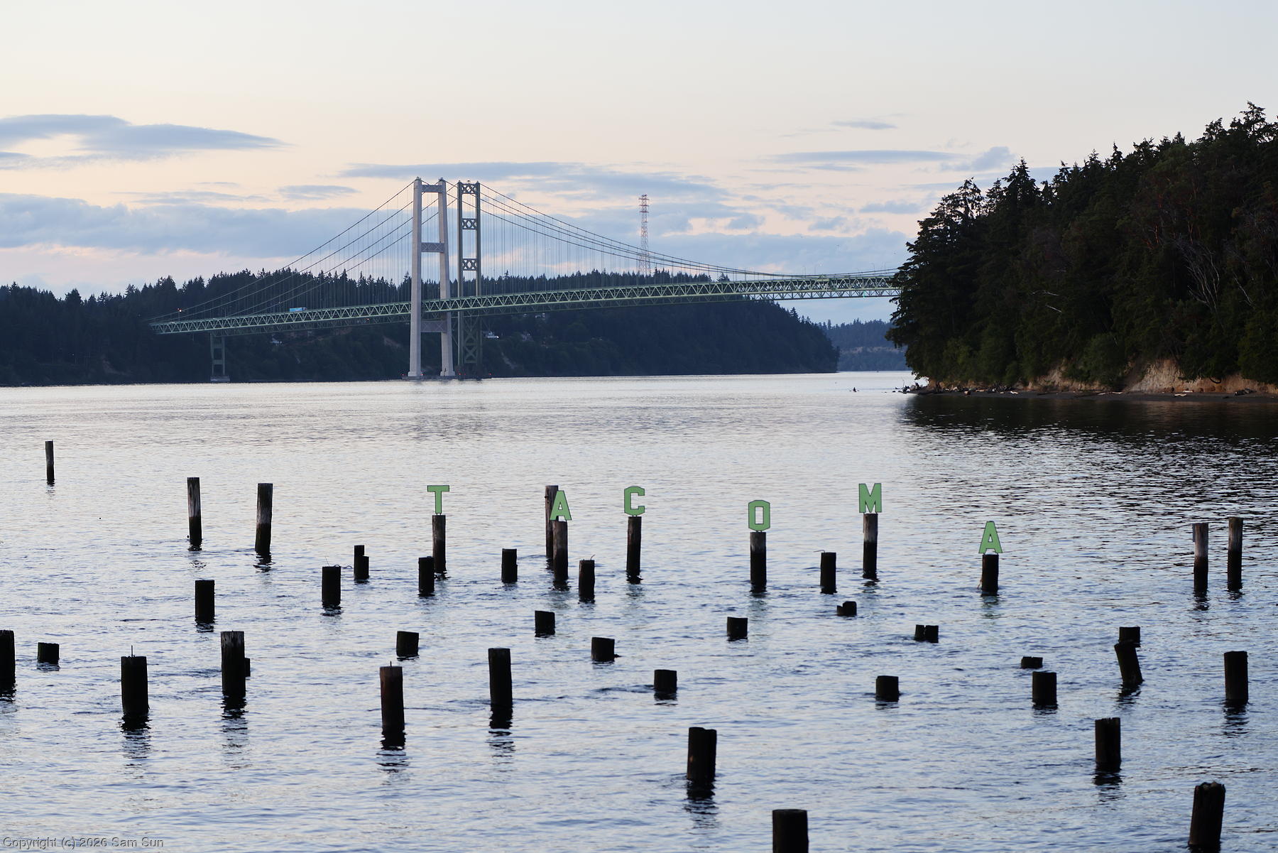
With all the jumping through customs hoops behind me, I made a short hop down to Tacoma Narrows to visit a friend for a couple days.
| Skagway Runway 20 departure |
 |
| Mendenhall Glacier |
 |
| Beware of cruise ships |
 |
| Landing #5000: Touch and go at Wrangell Airport |
 |
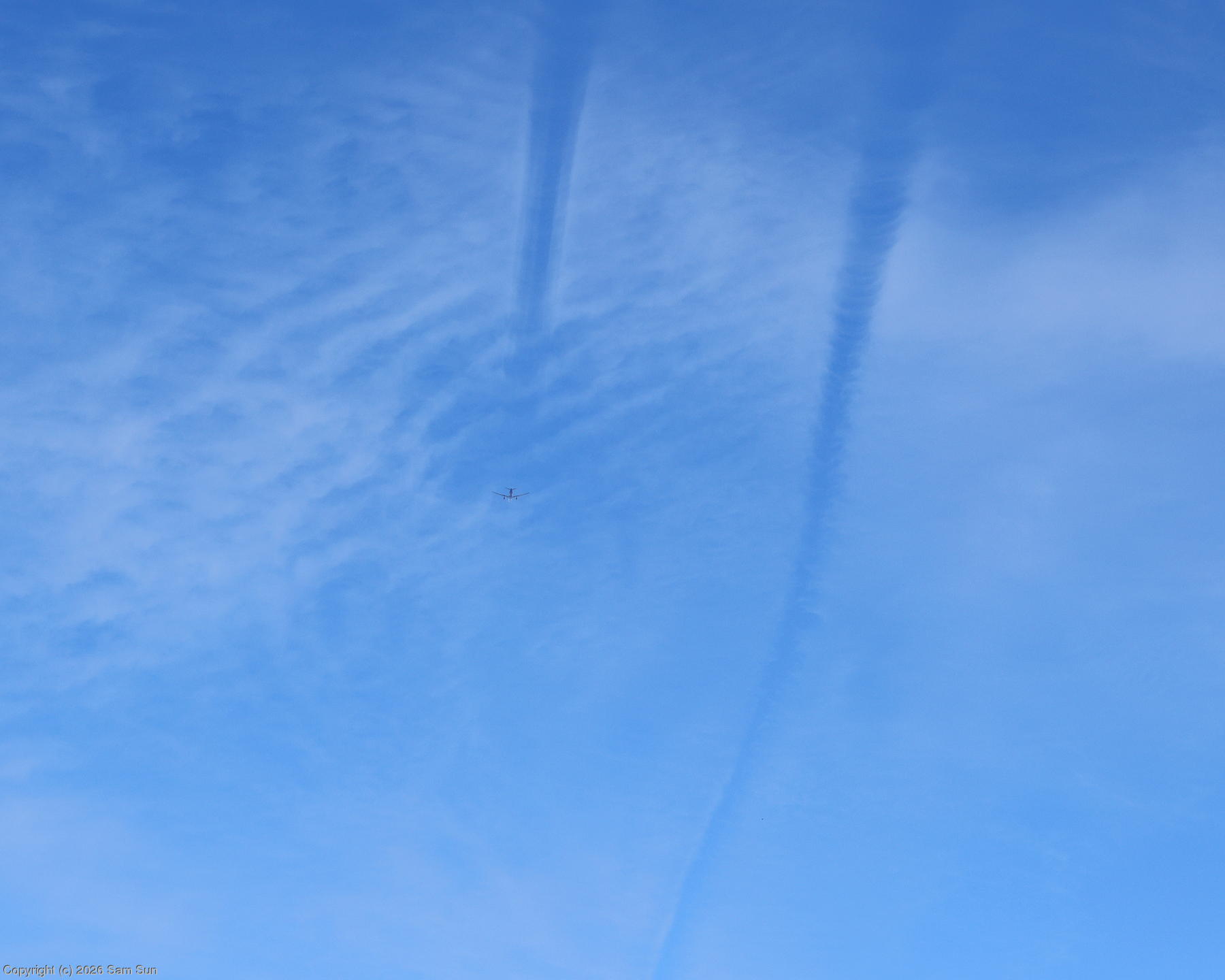
| Inverse contrails |
 |
| Tacoma Narrows Bridge |
 |
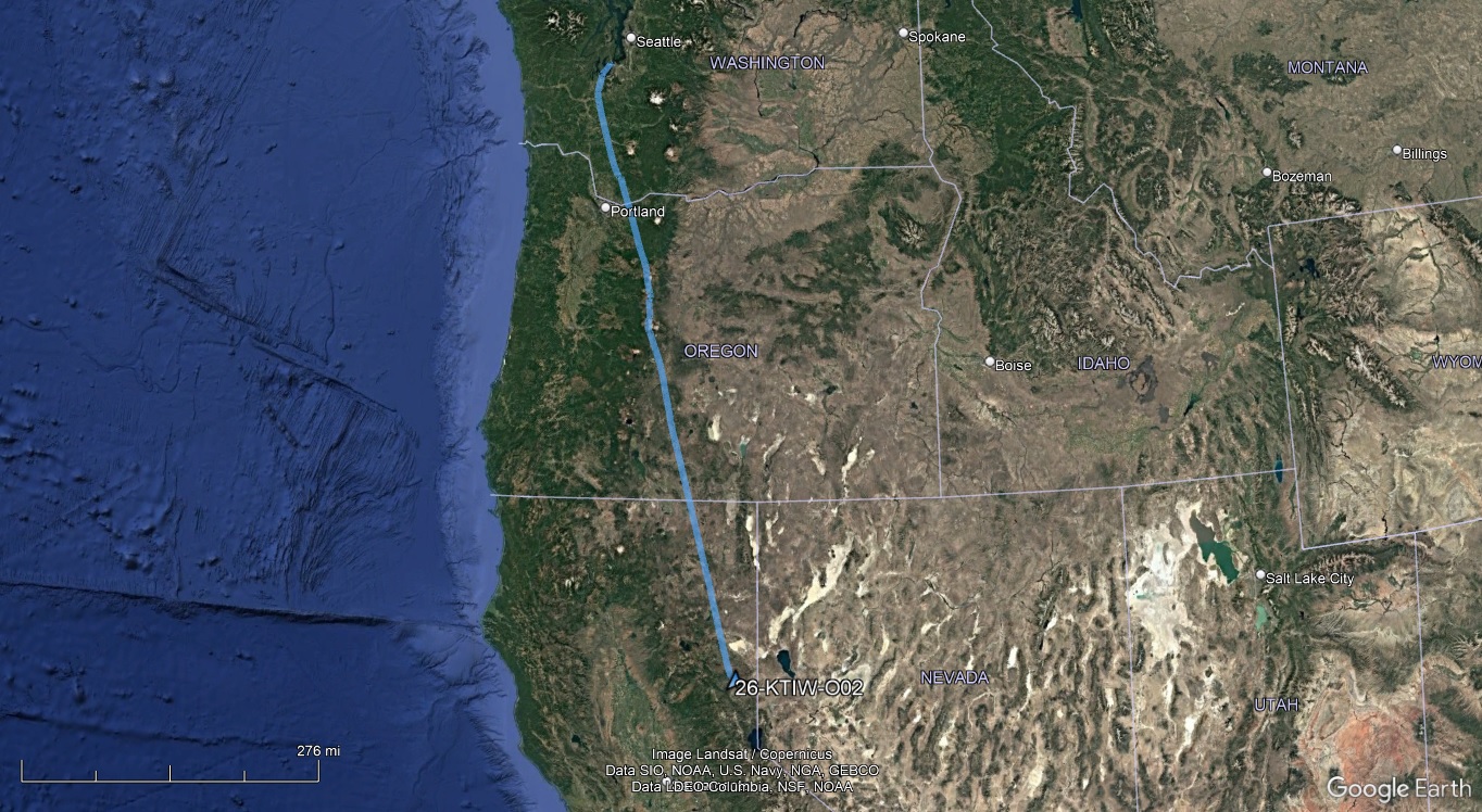
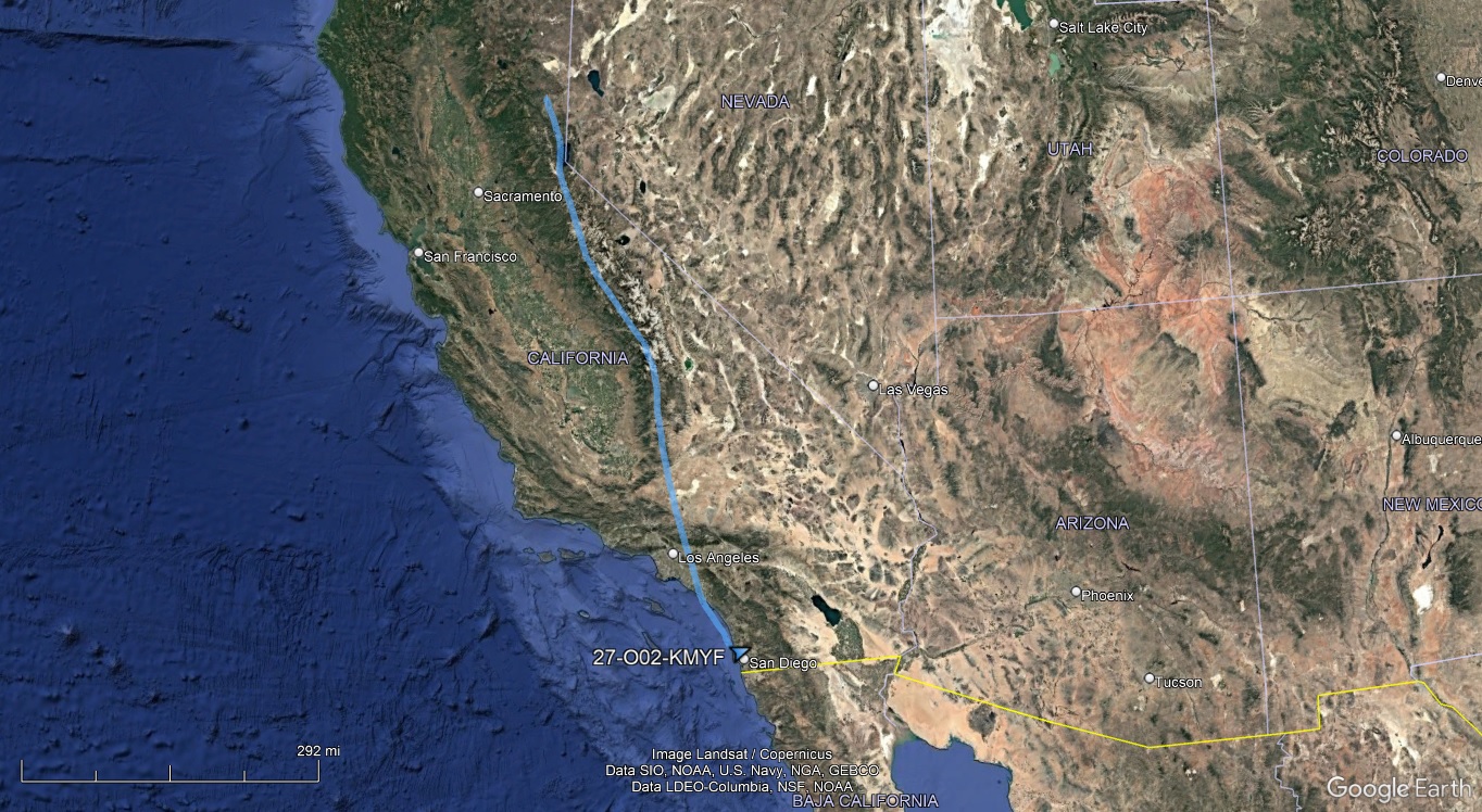
The final two legs of the trip home.
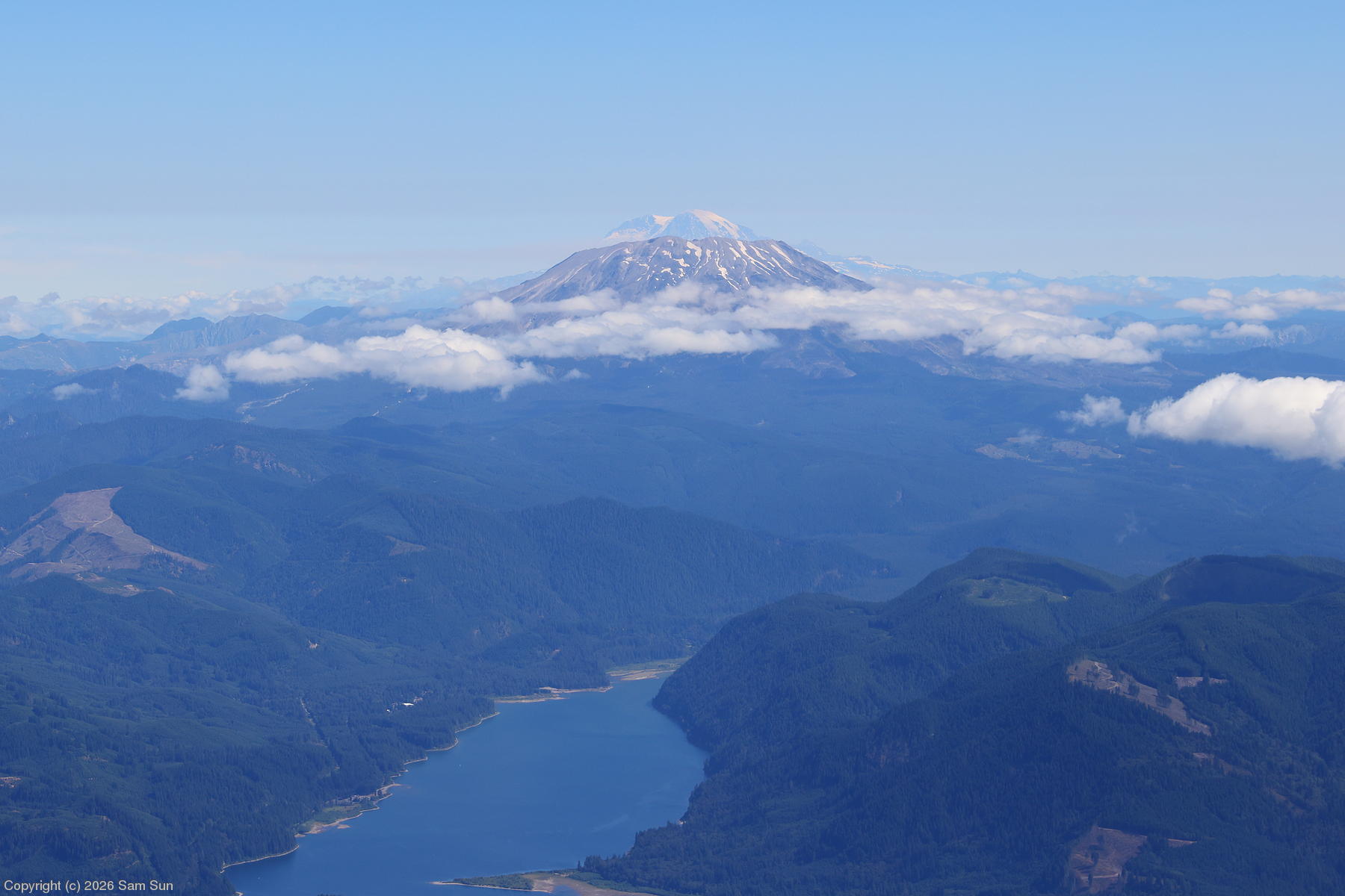
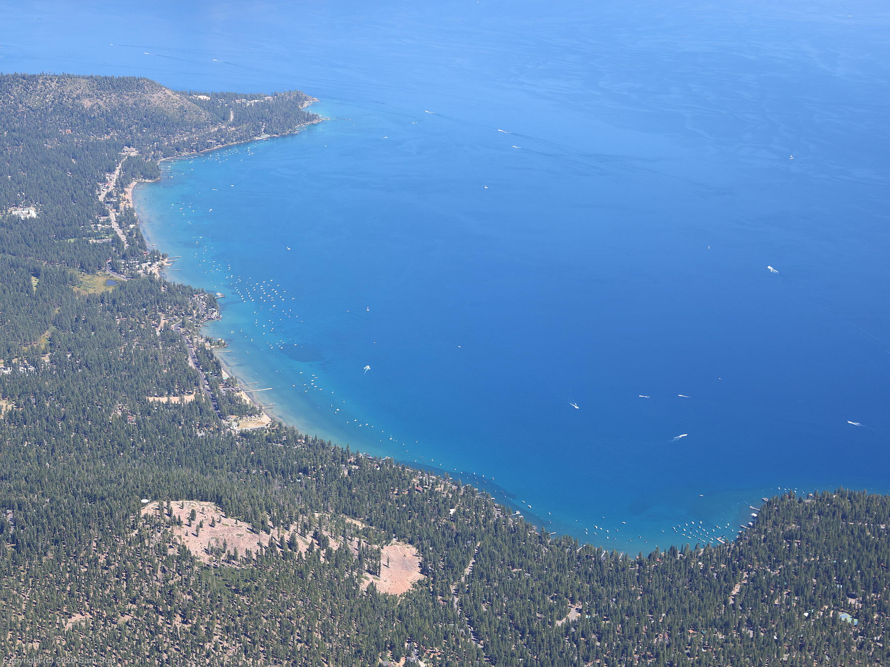
I managed to visually reconstruct Mt. St. Helens using Mt. Rainier. Flying over Lake Tahoe, I was reminded of the crystal blue waters of the lakes in Canada I flew over weeks before. And then, after 29 days, nearly 60 hours of incredible flying experiences over 7000 miles, I was back at my home base at Montgomery Field.
| Mt. St. Helens and Mt. Rainier |
 |
| Agate Bay, Lake Tahoe |
 |
Closing thoughts
A few random closing thoughts:
Being conservative with fuel management was top of mind. The flight from Anchorage to Juneau would have worked out fine without the fuel stop in Valdez, but an attempt to fly Ketchikan to Bellingham non-stop would not have (combining the two legs, I used 51.9 gallons out of 51 useable).
For weather considerations like icing and VFR through low ceilings, I made sure I always had "outs", whether it was the ability to descend out of freezing temperatures, turn around, or, if it came inescapable IMC, climbing into controlled airspace and sorting out an emergency IFR request with ATC. I obviously handled the sketchy situations I encountered uneventfully, but it doesn't escape me that some of those situations are how accident stories begin.
The most "get-there-itis" I felt on the trip was trying to make the landing at Wales. I lingered in the area for a while to see if the situation would change for the better, but ultimately decided there was nothing for it but to head back to Nome. I was actually a bit surprised when I realized towards the end of the trip that I had gotten myself to every other destination on the trip on my original timeline.
As I have on my other remote trips, I rented an Iridium satphone. My Tiger is equipped with a 406MHz ELT, and I also carry a PLB. To this I've always added a rental satphone on my remote trips - I figured having the ability to make voice calls is a more useful benefit than just a satellite text messaging service, which proved to be the case on this trip.
I departed several airports in IMC conditions and logged 5.5 hours in actual IMC, but the arrival airports were always VMC, so I didn't get to log any instrument approaches.
Starlink is going to take over the world.