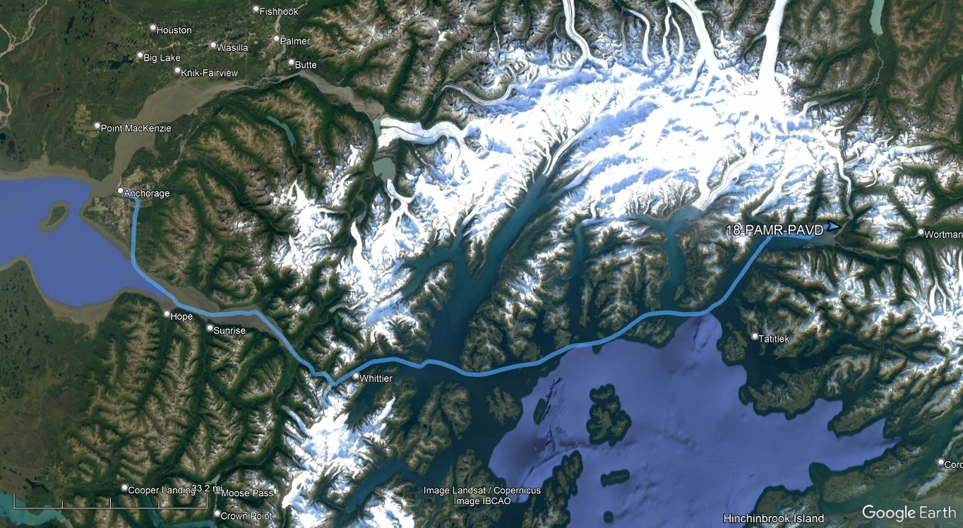
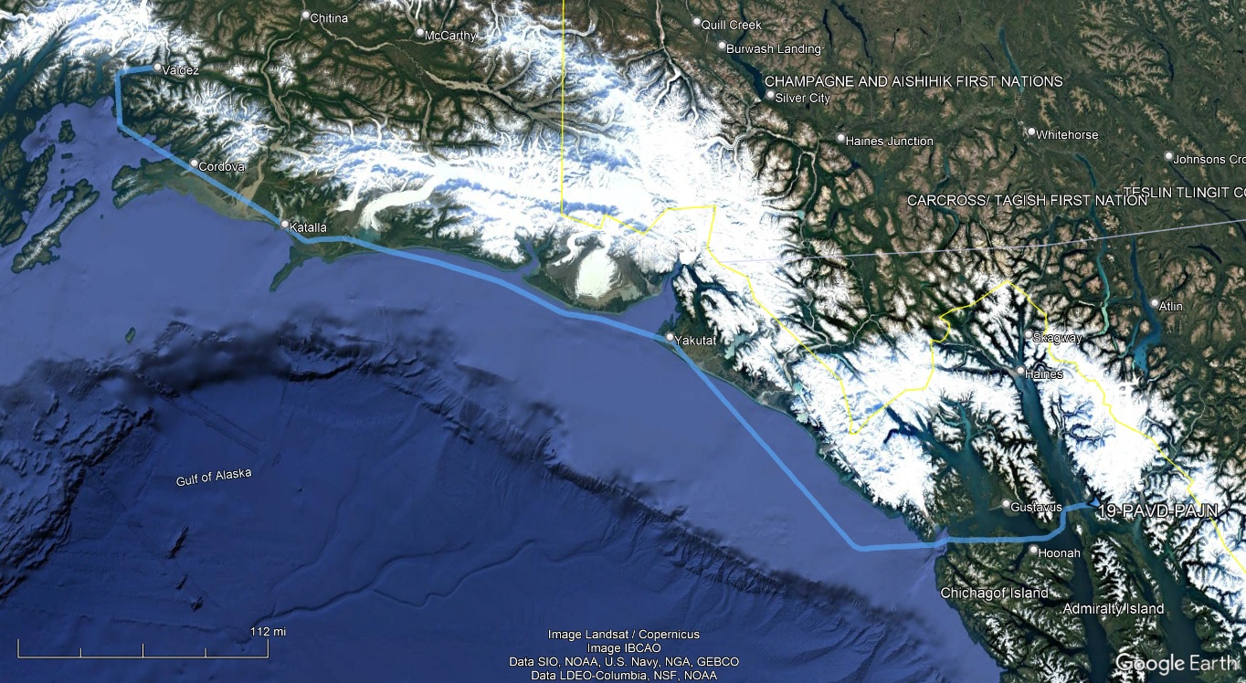
The downside to flying myself all over Alaska as opposed to leaving the transportation to others is I had to find time (and connectivity) between all my other activities to do flight planning and briefing. It's like having to do homework on vacation. A few days prior, I discovered that Yakutat, my intended fuel stop for the flight from Anchorage to Gustavus, had a broken avgas pump and fuel was unavailable there. Gustavus doesn't have avgas either. In fact, the only two fuel options for the 500nm between Anchorage and Juneau are Valdez and Yakutat. (AirNav lists fuel available at Cordova Muni, not the main Cordova airport, but the Chart Supplement doesn't; the municipal airport amounts to a gravel strip on a beach, and the fuel, if it existed at all, appeared to require taxiing across the road. I couldn't confirm one way or another, so discounted the option.) Yakutat is a convenient 320nm downrange along the route of flight. Valdez, on the other hand, is only about 100nm from Anchorage, and because of terrain, it's still about 440nm on the route from Valdez to Juneau. It almost wasn't worth the stop at Valdez to add 60nm of range. But, those 60 miles were enough to get to an IFR alternate with reserves, and while Juneau was forecast to be VFR upon arrival, I would definitely be IFR coming out of Valdez and wanted the extra margin.
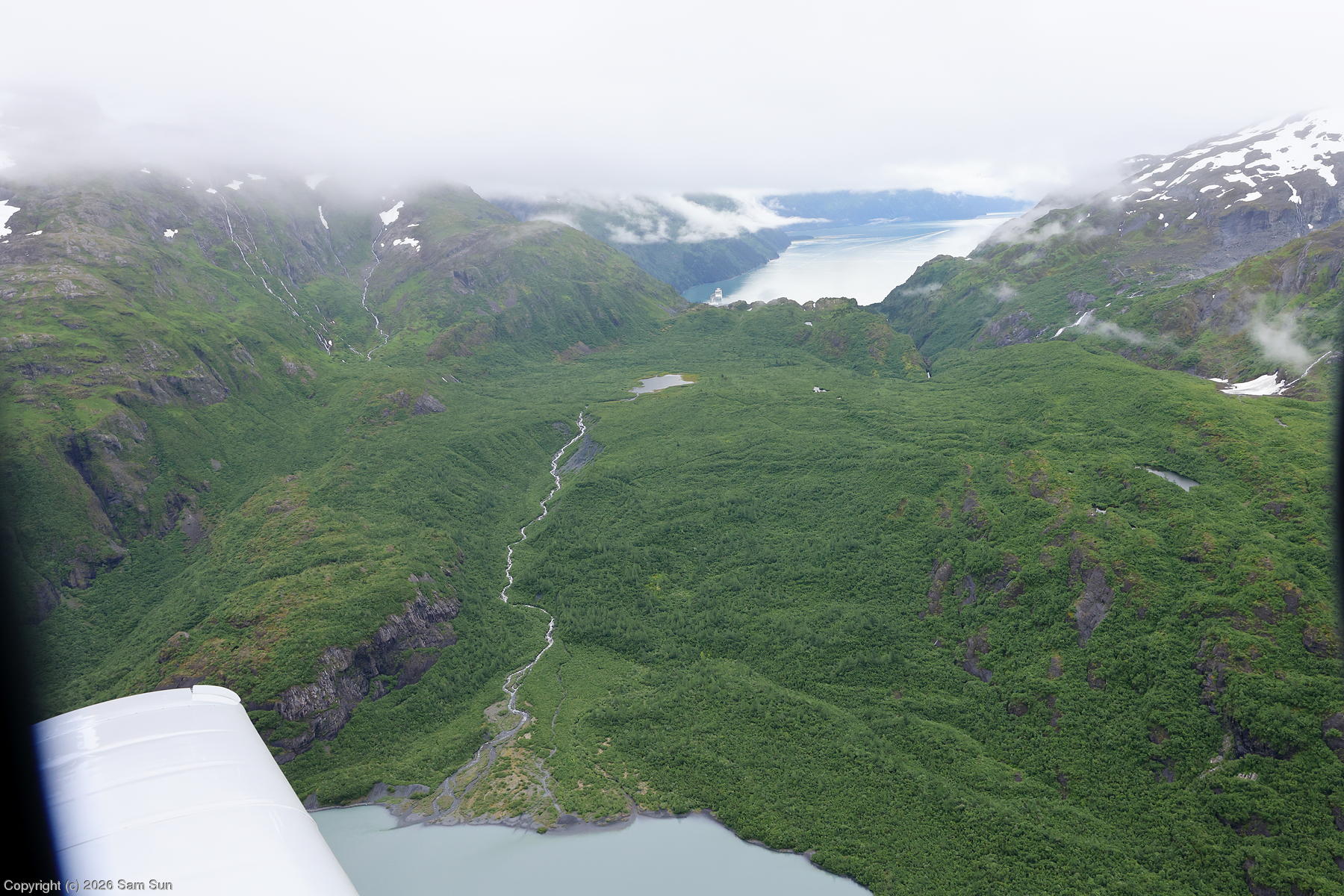
Getting to Valdez presented its own challenge. The MEAs for the IFR routes would have me in the clouds below freezing again. The ceilings looked to be 1000-2000' feet, maybe (probably) lower over the water. It looked like Portage Pass was open. With that, I decided on a low level VFR run through Portage Pass and along the coast to Valdez, pick up fuel, and then IFR to Juneau, fuel again, and finally a short VFR leg backtracking to Gustavus.
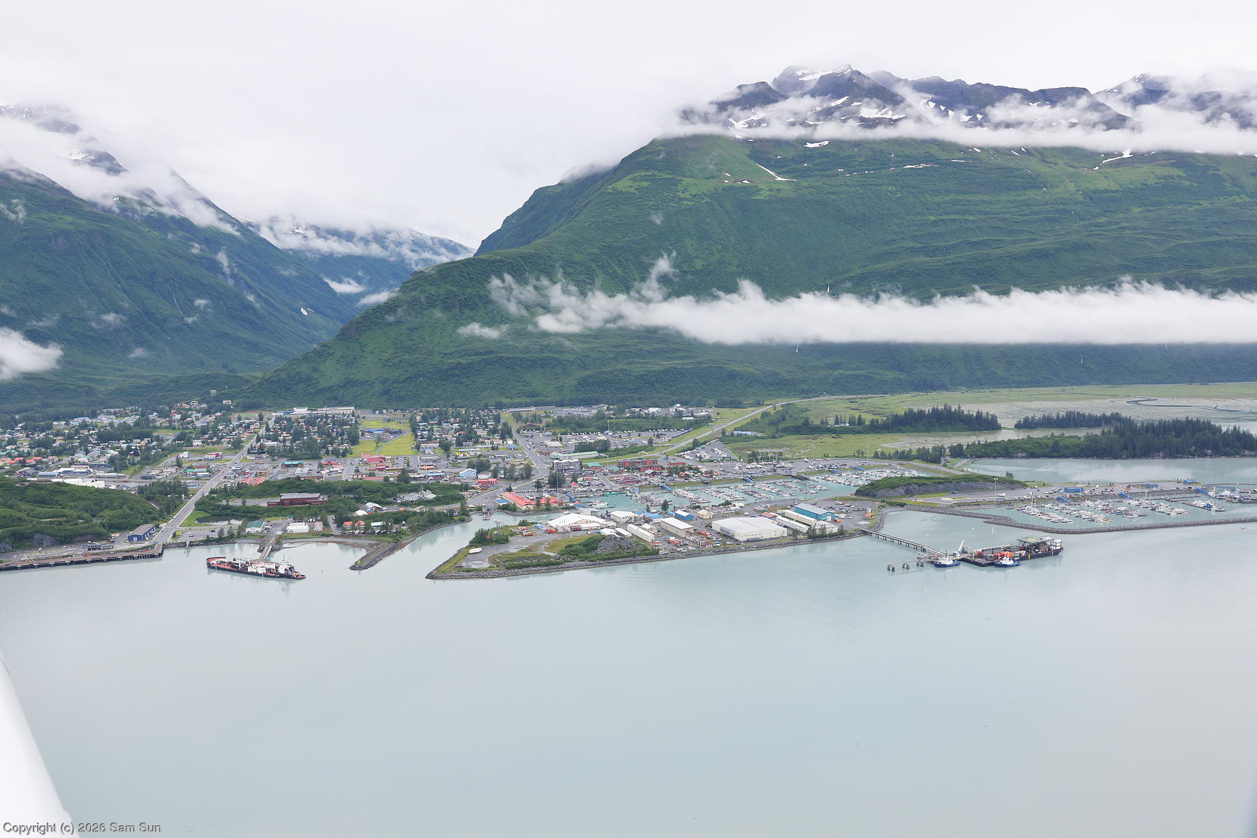
Things went about as planned. I squeezed through Portage Pass and got pushed down as low as 400' over the coast near Eaglek Bay, but even with the low ceilings, I found the Valdez area as scenic as I recall when I last flew through 9 years ago. After fueling, I got my IFR clearance (PAVD JMAAL4 JMAAL JOH T269 HAPIT T278 SSR PAJN) and took off for Juneau. The obstacle departure procedure had a lot of wrong-way maneuvering over the water for the direction I wanted to go, but the Anchorage Center controller was nice enough to dispense with all that and give me a vector on course pretty quickly. He made the observation that less time over open water (even relatively close to land) in a single engine piston the better. Yep, I agree.
Unfortunately, there wasn't much to see for most of the flight - I was either in clouds or in between layers. But, temperatures remained above freezing, so no icing concerns. Juneau was indeed VFR upon my arrival, but I elected to fly the RNAV Z Rwy 8 approach with a circle to land on Rwy 26, mostly for the more definitive course guidance inbound before I got the field in sight.
| Portage Pass |
 |
| Valdez |
 |
That time I beat an Alaska Airlines flight by 2 days
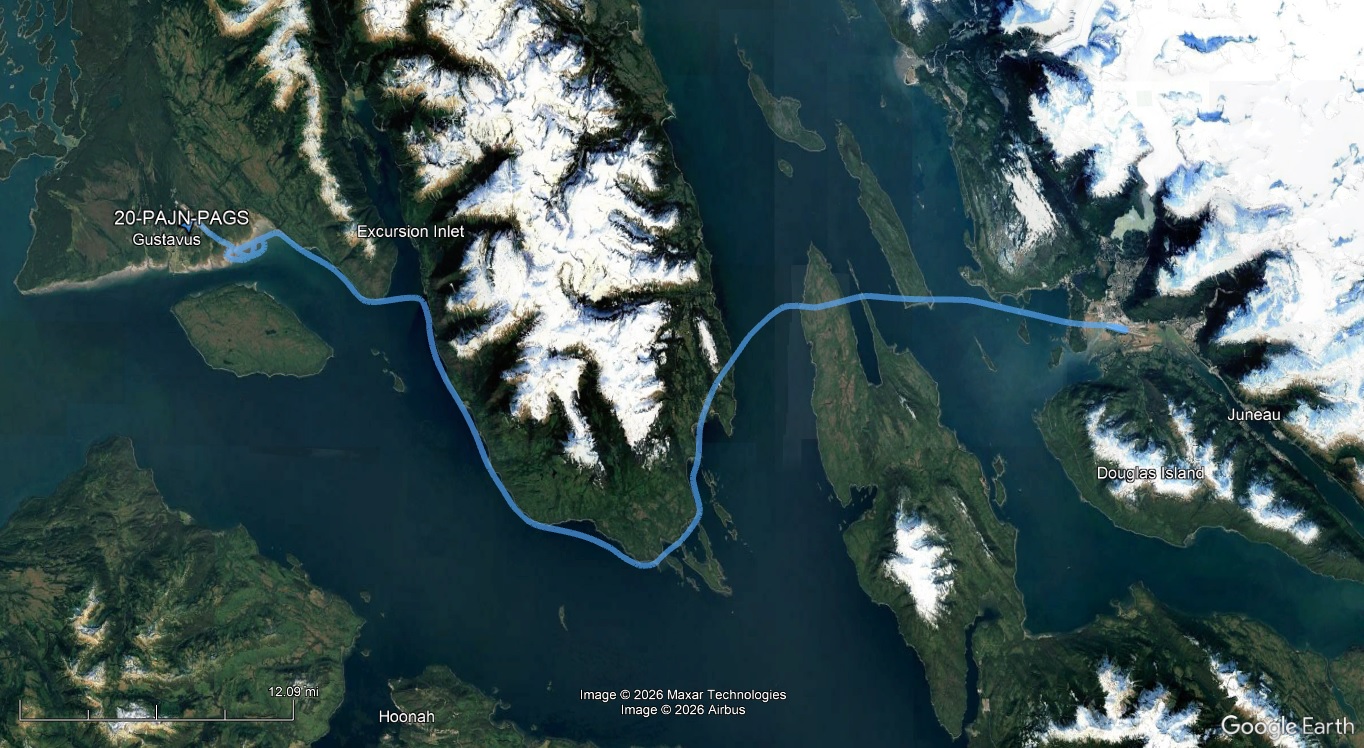
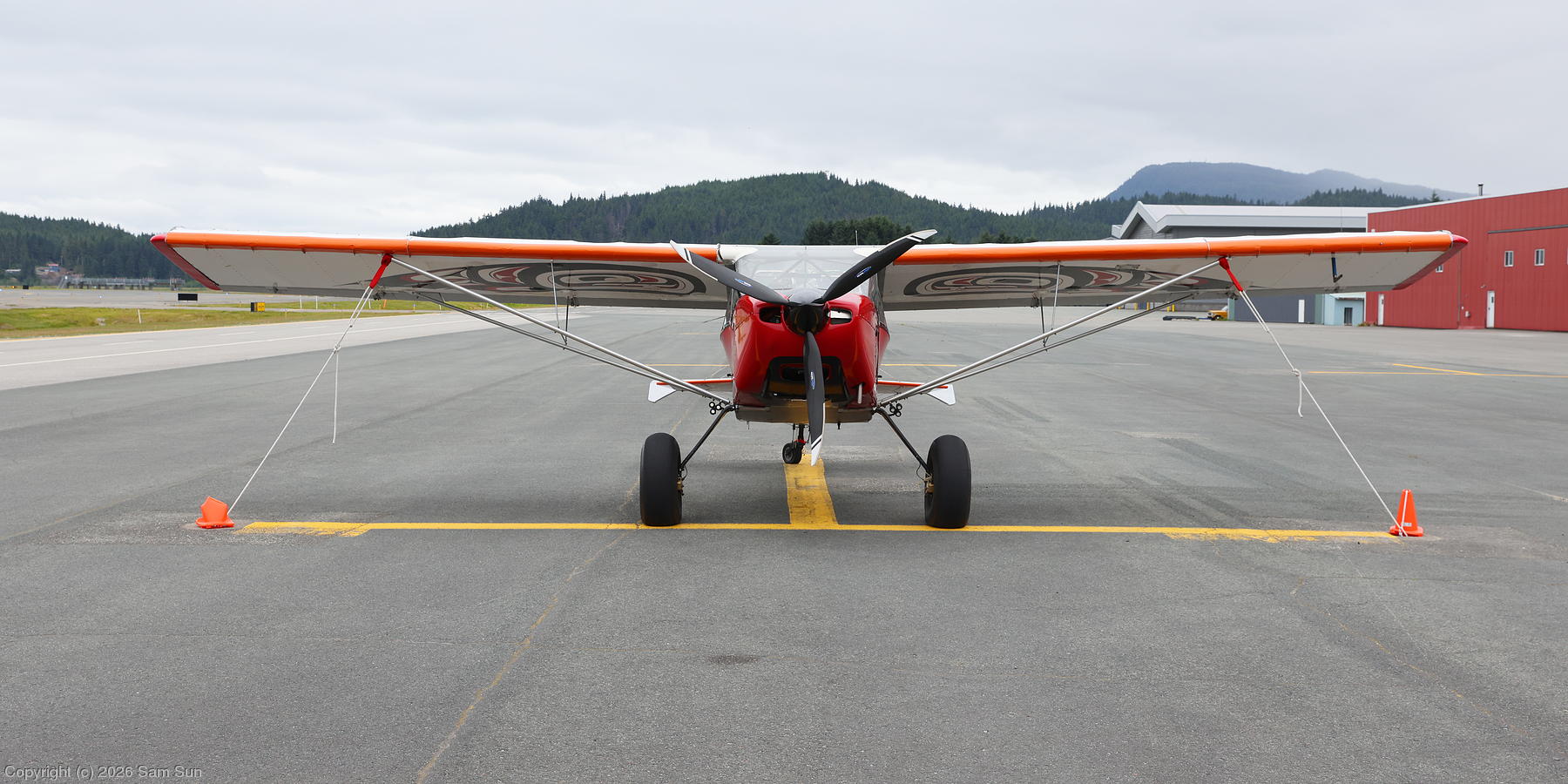
At Juneau, I met a guy on the ramp who had just flown in from Gustavus in an experimental Raven. Cool plane with a cool paint job. He mentioned there was weather moving in, but things looked ok when he left. Indeed, the Gustavus weather report indicated 10 mile visibility and 1100' ceilings. Weather at Juneau was 4000' ceilings and forecast to stay that way. Piece of cake.
While I was getting my taxi clearance, I watched an Alaska Airlines 737 take off in front of me. While enroute at a low level to Gustavus, I heard Alaska Airlines (it turned out to be the same one) on the Gustavus CTAF starting the GPS approach before it descended behind the mountains. Meanwhile, I could see that the weather was indeed moving in in front of me. The ceilings came down to 1100'... and kept dropping. As some showers started, visibility started dropping too. I slowed down and followed the coastline around the peninsula towards Gustavus. It didn't feel like I could see very far in front of my nose, but by eyeballing landmarks, I concluded I still had around 3 miles visibility. I was humming along at just 400' over the water now. Coming around the corner, I started picking up the ASOS - 600' overcast and 2 miles visibility. Yeah, that checks out. There was an inlet ahead that I wasn't going to cross unless I could see the other side, 2 miles away, but as I got there, the far coast showed up out of the gloom. Just a few miles to go now and I'm occasionally dropping down to 300'.
The natural tendency when scud running is to try to stay away from the ground and wind up hugging the bases of the clouds. One bit of advice I'd accumulated over the years is that when the visibility is good below the clouds, you're better off flying well below the bases, even if it means being close to the ground, because you'll have much better forward visibility. The problem here is that visibility *wasn't* good. And it was still 2 miles! And yet Class G VFR is 1 mile, clear of clouds!?
I'm getting close to the airport now on what would be a close and low right base for Runway 29. I have the instrument approach loaded although I'm not following it, just using the MAP for reference. That's less than a mile, so I'm well inside of 2 miles to the airport... and all I see is the side of a cloud where the airport should be. I'm using the MDA of 400' as my floor, so I should be ok on obstructions, but I'm moving slightly inland over some mudflats and losing my shoreline reference, and there's some trees out there? I wonder how tall they are? Ok, abort! I make a 180 back to the coast and take a minute to consider the situation. The ASOS says the visibility has improved to 2 1/2, with the ceiling still 600', variable between 400' to 900'. Uh huh. Sure looks like a solid 400' to me.
I decided to give it one more shot, this time flying the final approach course as a straight in so I'm not trying to look for the airport somewhere off to the side like the previous pass. I'm also flying 300' so I'm not brushing up against the clouds. So, once again, coastline, mudflats, some scattered trees... they're not that tall, but I still drift up to 400' and now I am against the clouds again and... runway! Just beyond the scattered trees was the approach environment, and in an instant I could see to the far end of the runway. As I'm rolling out after landing I look over at the terminal building expecting to see the Alaska jet and... nothing there. Ohhh.... they didn't make it in!
After taxiing to the ramp, securing the plane, and moving my bags to the shelter of a small open bay hangar (which I found out later was the home of that Raven), I try to call the lodge for a shuttle. Once again, while Verizon claimed to have coverage, it vanished as soon as I make the call. Once again, I resorted to the satphone. It took a moment for the desk staff to figure out where I was on the field, but they said they'd send someone out though it might be a bit as their driver didn't have coverage either to get the message immediately.
Eventually, the lodge van pulls up to the pedestrian gate. It's full of passengers who were supposed to be leaving on that Alaska flight that didn't get in. I wound up becoming a minor celebrity on the van and at the lodge that evening as the (crazy?) pilot that got in when Alaska Airlines didn't. Several folks joked about bidding for bunk space in my room, or for me to fly them out the next day. In the end, the hotel staff did a great job reaching out to the inbound guests to confirm which weren't coming, and getting all the folks who didn't make it out resettled for another night (or two). A few folks got rebooked for the next day's Alaska flight (which also got canceled!), some on the flight 2 days out, but most apparently left on the next day's ferry run to Juneau.
| An appropriately decorated Rans S-20 Raven |
 |
| Enroute to Gustavus |
 |
I had wanted to spend 3 nights at Glacier Bay, but only 2 nights were available by the time I made my reservations. As a result, the one full day I had there was mostly occupied by a full day glacier cruise.
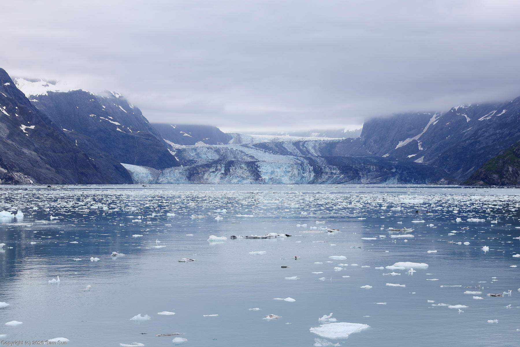
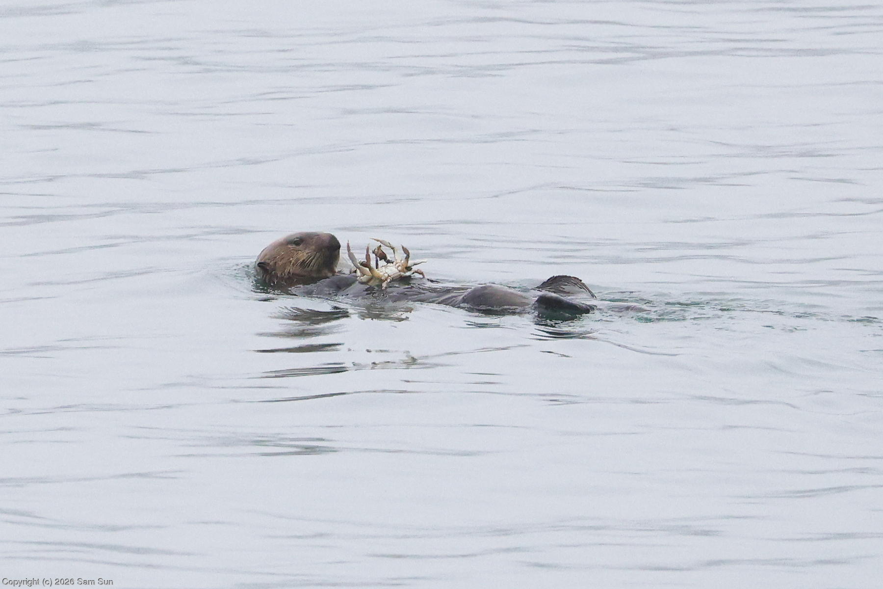
It started out foggy on the bay for the cruise, but conditions improved north towards the glaciers. As a result of the previous day's cancelled Alaska Airlines flight, we sailed with less than half of the expected 70ish passengers. The highlight of the cruise was a stop at the Johns Hopkins Glacier, but because of time and ice considerations, we got no closer than about 5 miles from the glacier. While we did stop to observe some wildlife on the cruise, it was noted by the staff that due to restrictions on approaching whales within the park, not only could we not stop to watch if we saw one, we'd have to actively avoid it. The whale watching trips all operated outside of the national park from the city dock, which the lodge provided transportation to. Truth be told, I think the glacier cruise I did out of Valdez years ago was better as that one got close enough you could hear the ice crackling and see small bits calving, and didn't have any limitations on whale watching.
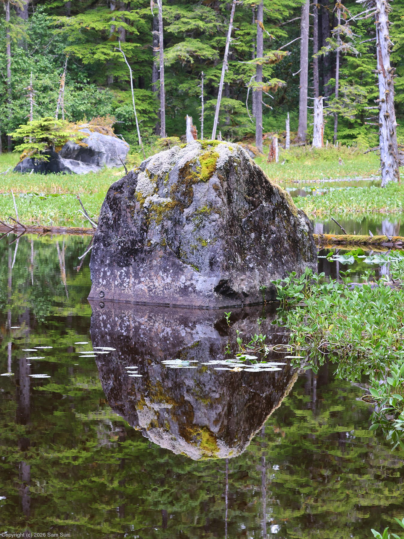
After the cruise, I walked the short Forest Loop Trail. I hadn't really thought about it before I arrived, but Glacier Bay is dominated by temperate rainforest that reminded me of Olympic National Park. Despite the name Glacier Bay, I think there's more to enjoy in the rainforest.
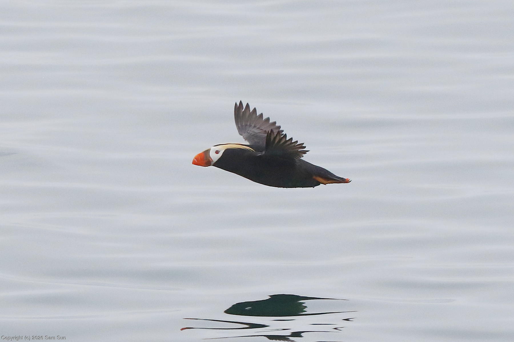
| Tufted Puffin |
 |
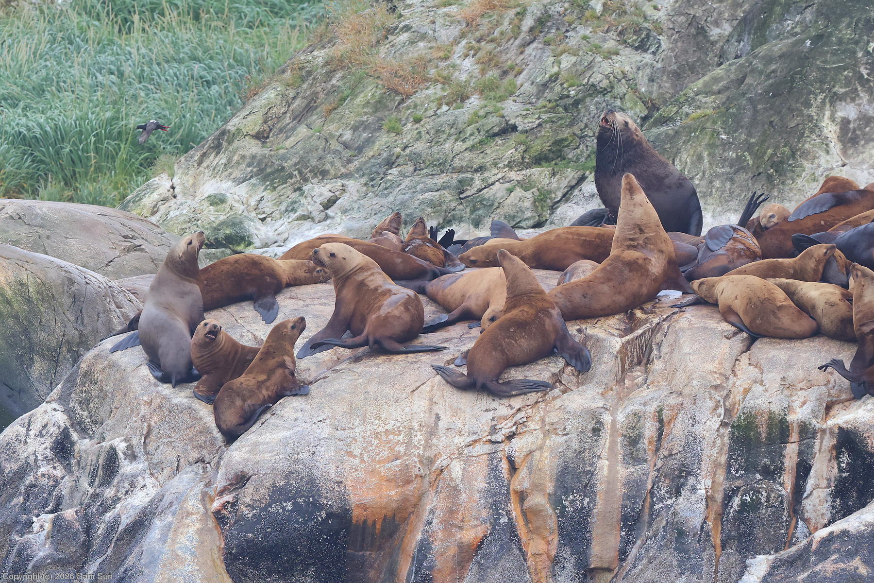
| Steller Sea Lions |
 |
| Johns Hopkins Glacier |
 |
| Sea otter with a crab |
 |
| On the Forest Loop Trail |
 |