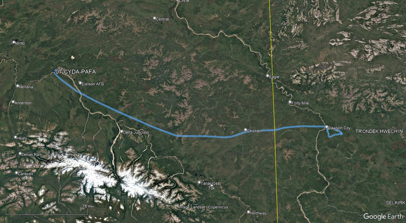
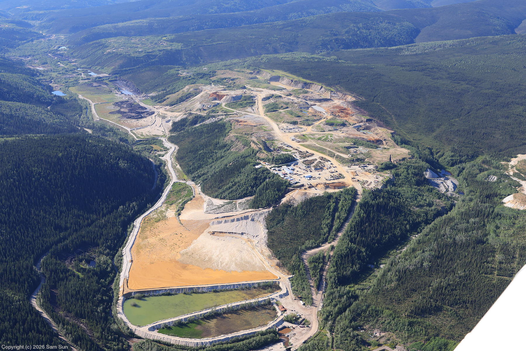
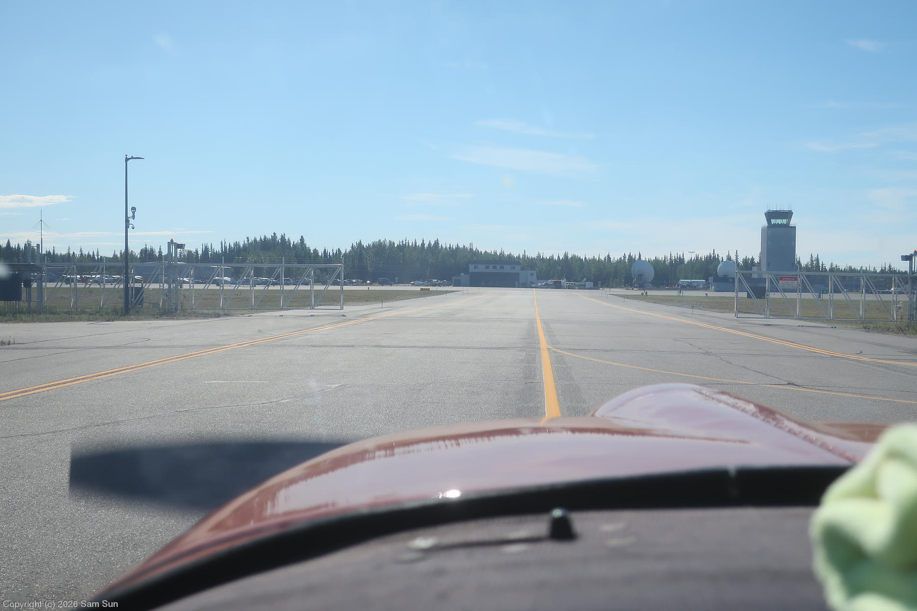
Departing Dawson City, I made a brief aerial tour of the area before proceeding to Fairbanks for US Customs, and lunch with AOPA Alaska Regional Manager Tom George. I encountered an unusual pilot operated gate on Taxiway Bravo at Fairbanks. It separates the air carrier side of the field (where the customs ramp was) from the less controlled GA side.
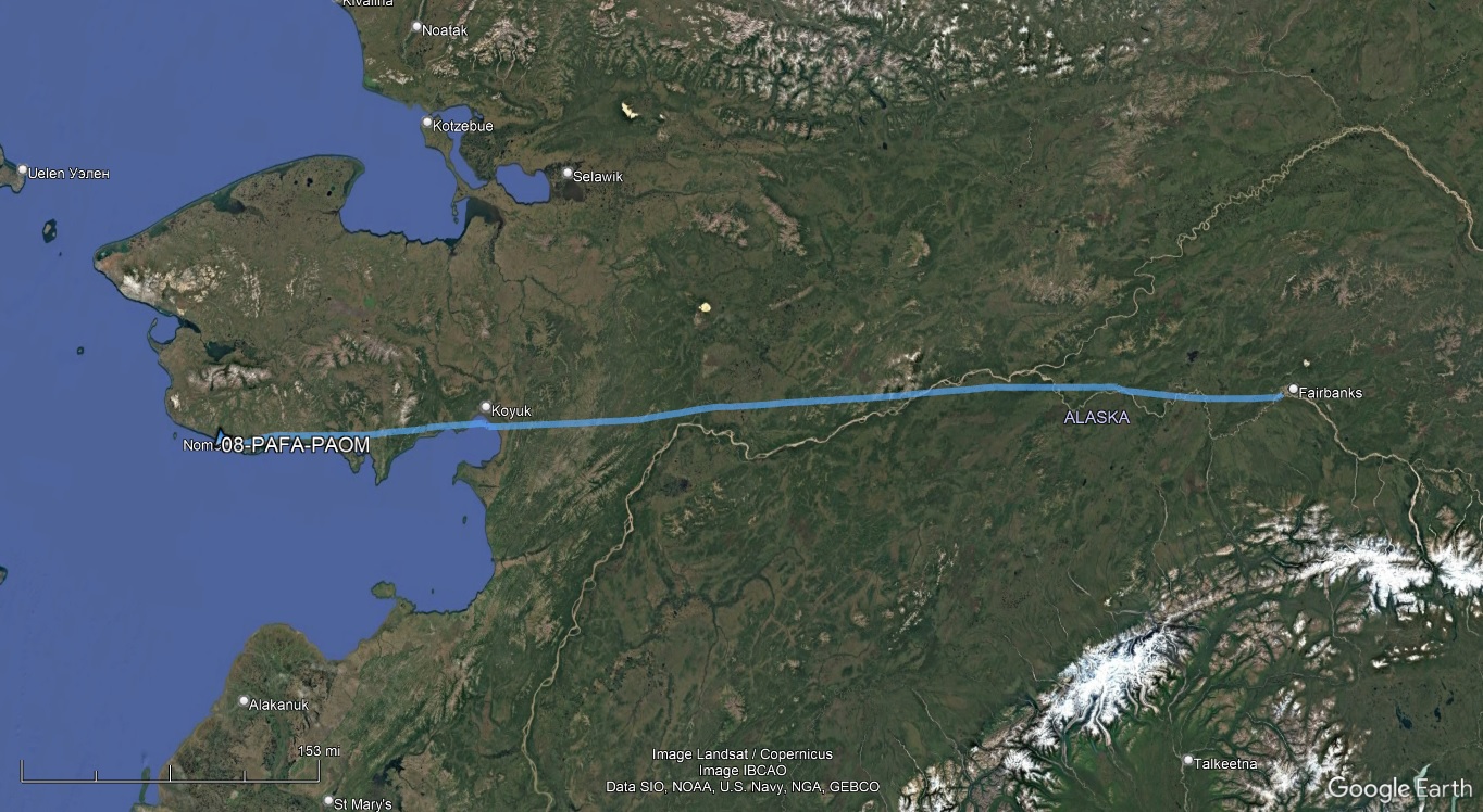
Alaska still has walk-in Flight Service Stations, though several were closed due to an ongoing employee misconduct investigation. As Nome FSS was one of the closures and their responsibilities were being handled at Fairbanks, I stopped in the Fairbanks FSS to inquire about my plans for a planned flight to Wales, at the western tip of the Seward Peninsula. Among other things, I was concerned about the proximity of the ADIZ nearby, and while I didn't expect to cross it, they suggested that I file a DVFR flight plan for the trip and obtain a squawk code just to be safe. They also requested I help them out with some radio checks of the RCOs enroute, which I was happy to do.
By the time I got going in the afternoon, there were some isolated storm cells building, but ceilings remained high and I had a pleasant flight along the Yukon River and then the coast of Norton Sound on the way out to Nome.
| A large mining operation outside Dawson City |
 |
| Fairbanks Twy B gate |
 |
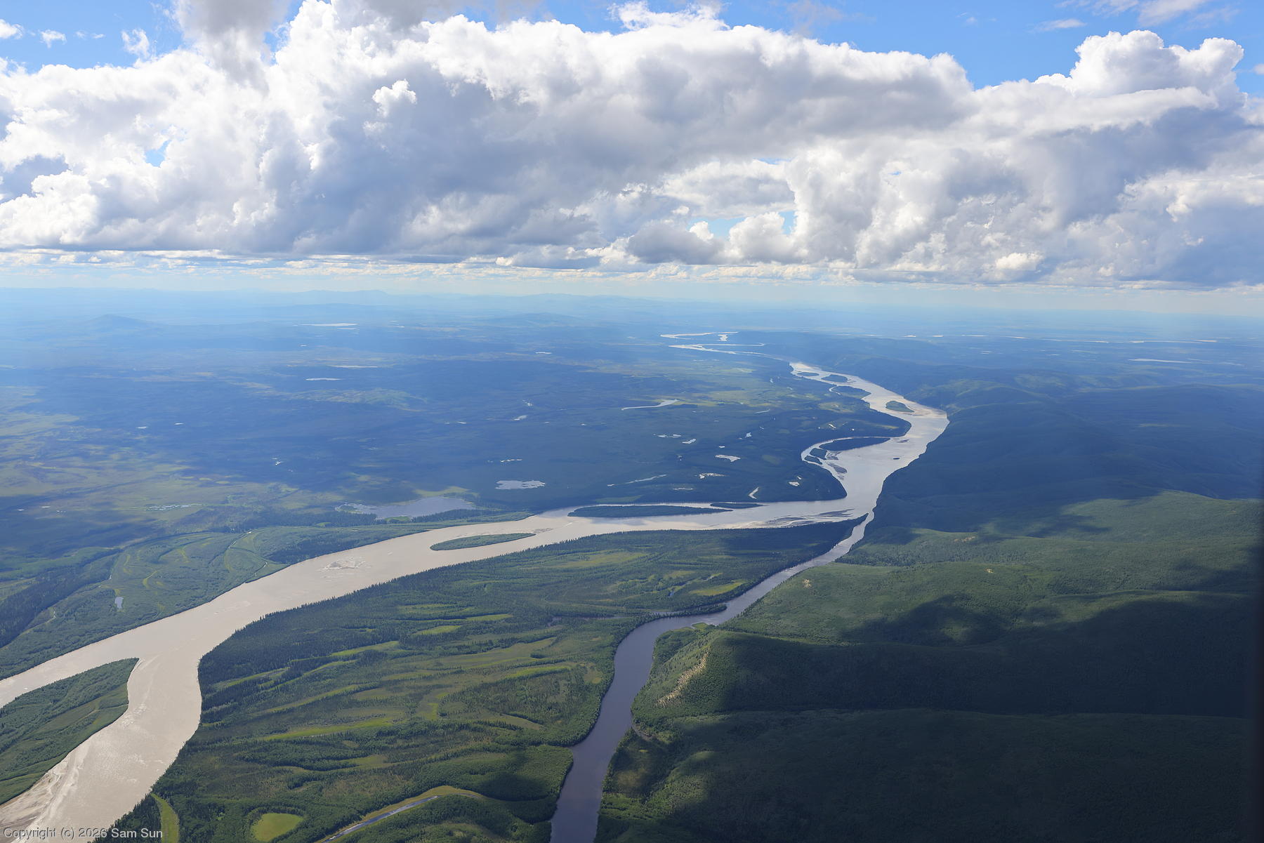
| Tanana River near Manley Hot Springs |
 |
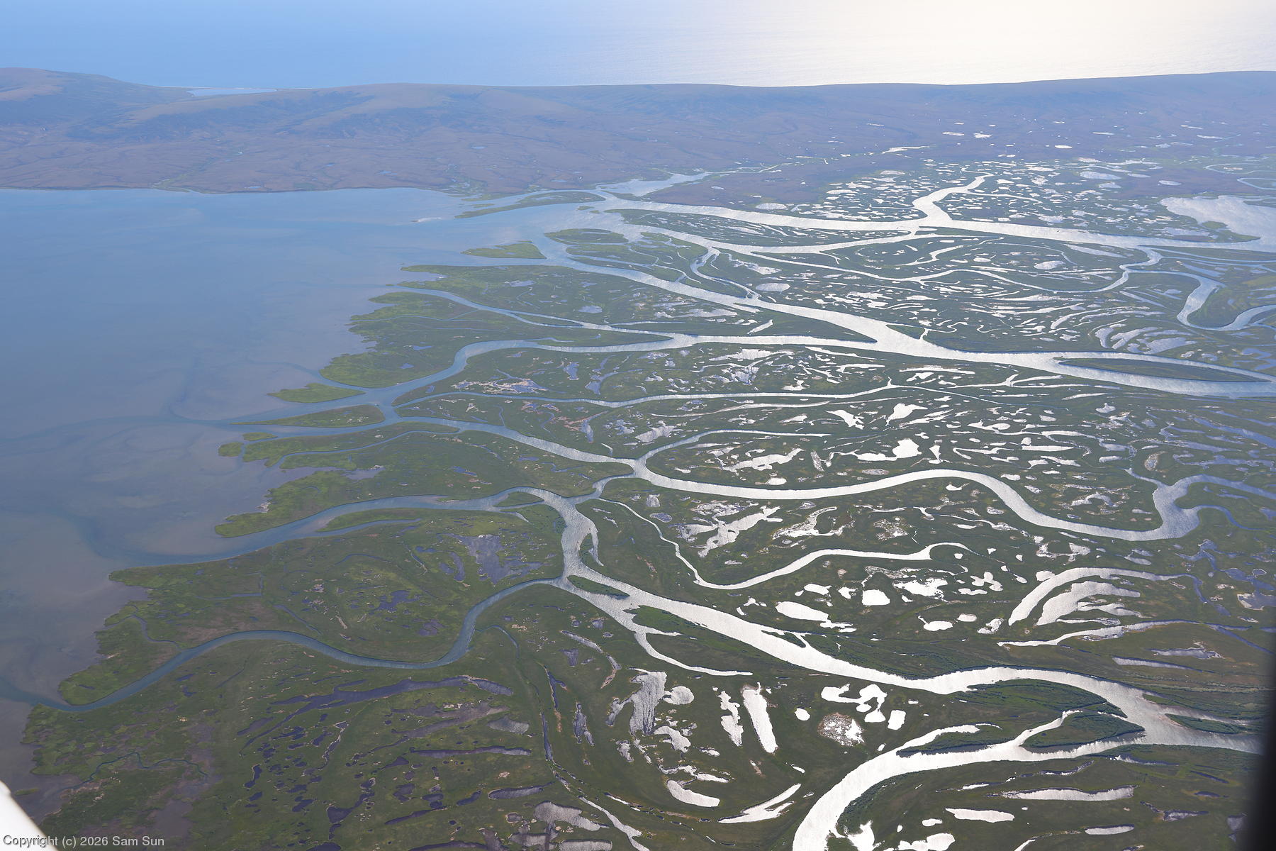
| Fish River Estuary |
 |
Comm issues
As with my arrival in Dawson City, Nome presented me with a few challenges. In my preflight planning, I had determined there were two places to park at the main airport: On the Bering Air ramp for $250/night (!), or on the gravel city ramp for free. I had been advised there were no tiedown anchors on the city transient line, so I brought my own. It turns out the gravel was semi-paved, enough so that I wasn't going to be able to drive any stakes into the ground. It was blowing 20+ knots on the tail, but not expected to get worse during my stay, and the plane wasn't trying to go anywhere, so I decided if I chocked both mains and set the parking brake, it would be OK. Probably.
Then I tried to call for fuel. My cell phone claimed to have service until I made the call, then it dropped and never came back. I tried rebooting my phone. Still no service. Well... I guess this is why I rented a satphone for the trip. I broke it out and called, only to find out that it was just past their regular service hours (8A-6P) and the after-hours callout fee would be $100. I decided to take fuel in the morning. That would wind up costing me in a different way.
Next was a call to the hotel for a shuttle. The agent answered, "Thank you for calling can you please hold?" And put me on hold without waiting for an answer. 5 minutes later, not wanting to burn up all my satphone minutes on hold, I hung up. I passed some time chatting with a couple who had flown in to camp on the field. It took two more tries over the course of an hour before I got the agent to stay on the line, but was then informed that the last shuttle runs at 5P. Oops, I never thought to ask about shuttle hours when they had told me it was on demand. Thankfully, he gave me the number of what amounted to a one-man taxi service, saving me a long trek to the hotel.
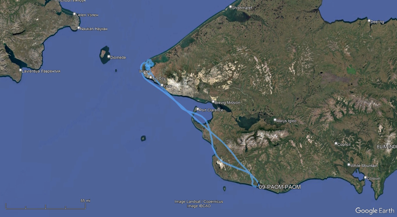
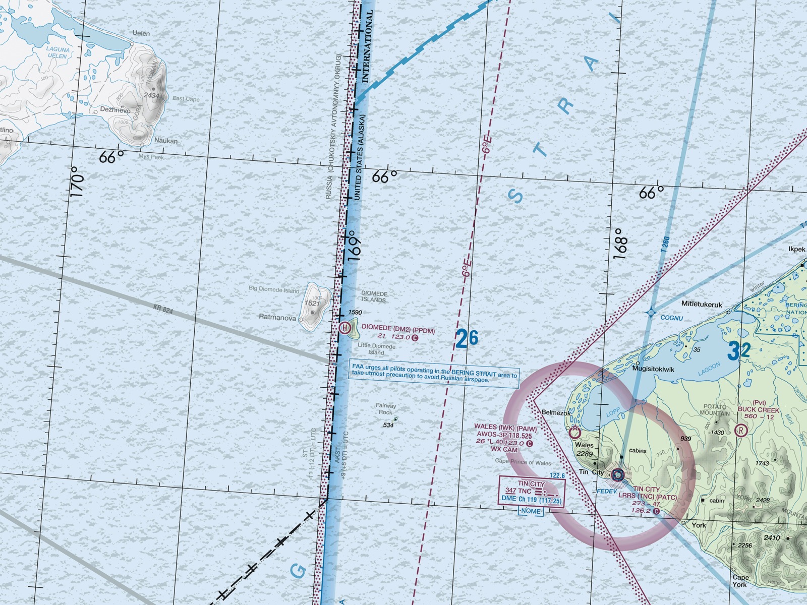
One of my goals for this trip was to see Russia from my plane. Another was to land at the westernmost airport on the continental US, a gravel strip at Wales. From Wales, the Diomedes Islands are about 25 miles offshore. Little Diomede is in the US, while Big Diomede is a couple miles further, across the International Date Line, and belongs to Russia. The Russian mainland itself is about 50 miles across the Bering Strait from Wales, but visible on a clear day.
I headed out to the airport at 8AM, having picked up my rental car in town. Happily, my plane had not blown away overnight. I put in a call for fuel and was advised there'd be a delay as the one fueler was servicing the Alaska Airlines flight. I chatted some more with the camping couple, who were headed north to Kotzebue for some fishing. About an hour later, the fuel truck finally showed up.
Finally topped up with fuel, I took off for Wales. The weather was beautiful in Nome, and reports from the Wales weather station had been clear all morning. There were some low clouds in the Bering Strait that were supposed to move onshore later in the afternoon, and they weren't supposed to be an issue. Except they were. I was monitoring weather with ADS-B In, and about 20 minutes out from Wales, the report went from CLR to FEW001. Soon I was picking up the live AWOS transmissions and it was BKN001.
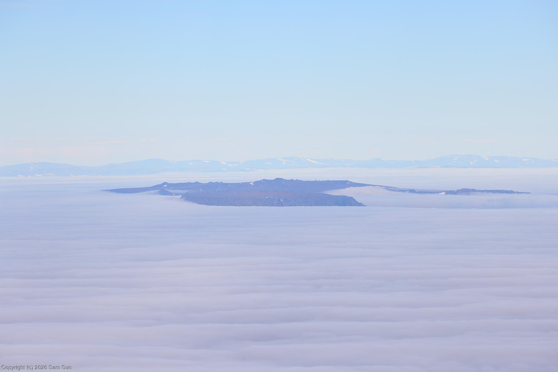
Meanwhile, still at my 6500' cruising altitude, I saw Russia from my plane. The Bering Strait was shrouded in clouds, but the Diomedes Island and Russia beyond were visible poking out of the fogbank. Sarah Palin Tina Fey, eat your heart out! :)
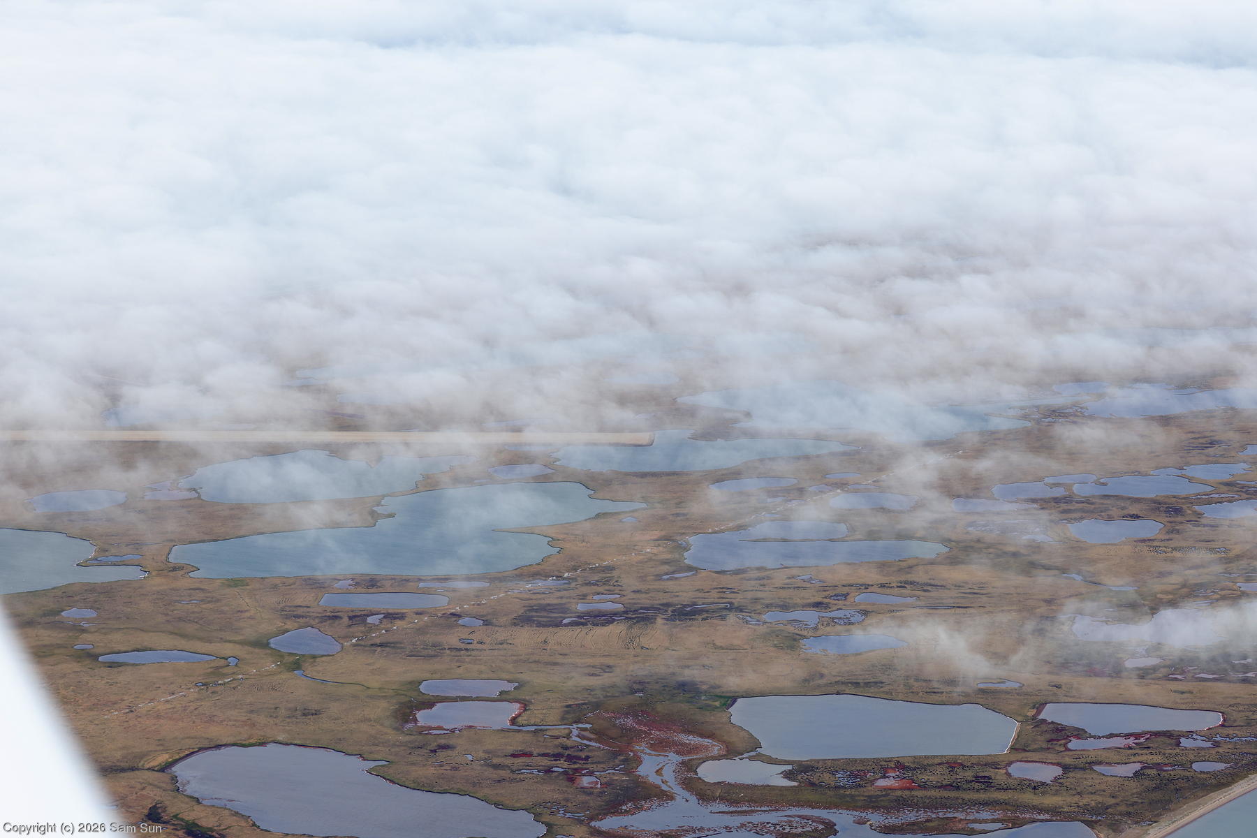
When I first flew over Wales, the approach end of Runway 18 was still visible through the ragged edges of the incoming cloud bank. I considered making a try for it, but decided that the ceiling was just too low to duck under. Unfortunately, that hour delay for fueling cost me my landing opportunity.
I had elected to file two separate DVFR flight plans for the legs to and from Wales, to allow me to spend some time on the ground. The nearby Tin City RCO was out of service, and by the time I got back to Nome, I would be overdue on my outbound plan. Having discussed this scenario with the FSS briefer the day before, I had the Anchorage Center frequency as an option to get a flight status update out. Instead, I used the opportunity to break out the satphone once again and see if I could complete a call while in the air. It took a bit of jostling as the antenna had to remain vertical to maintain service, but I made the call successfully and advised FSS of my updated ETA back to Nome.
| Bering Strait chart | |
|
| Diomedes Islands and Russia |
 |
| Wales getting fogged in |
 |
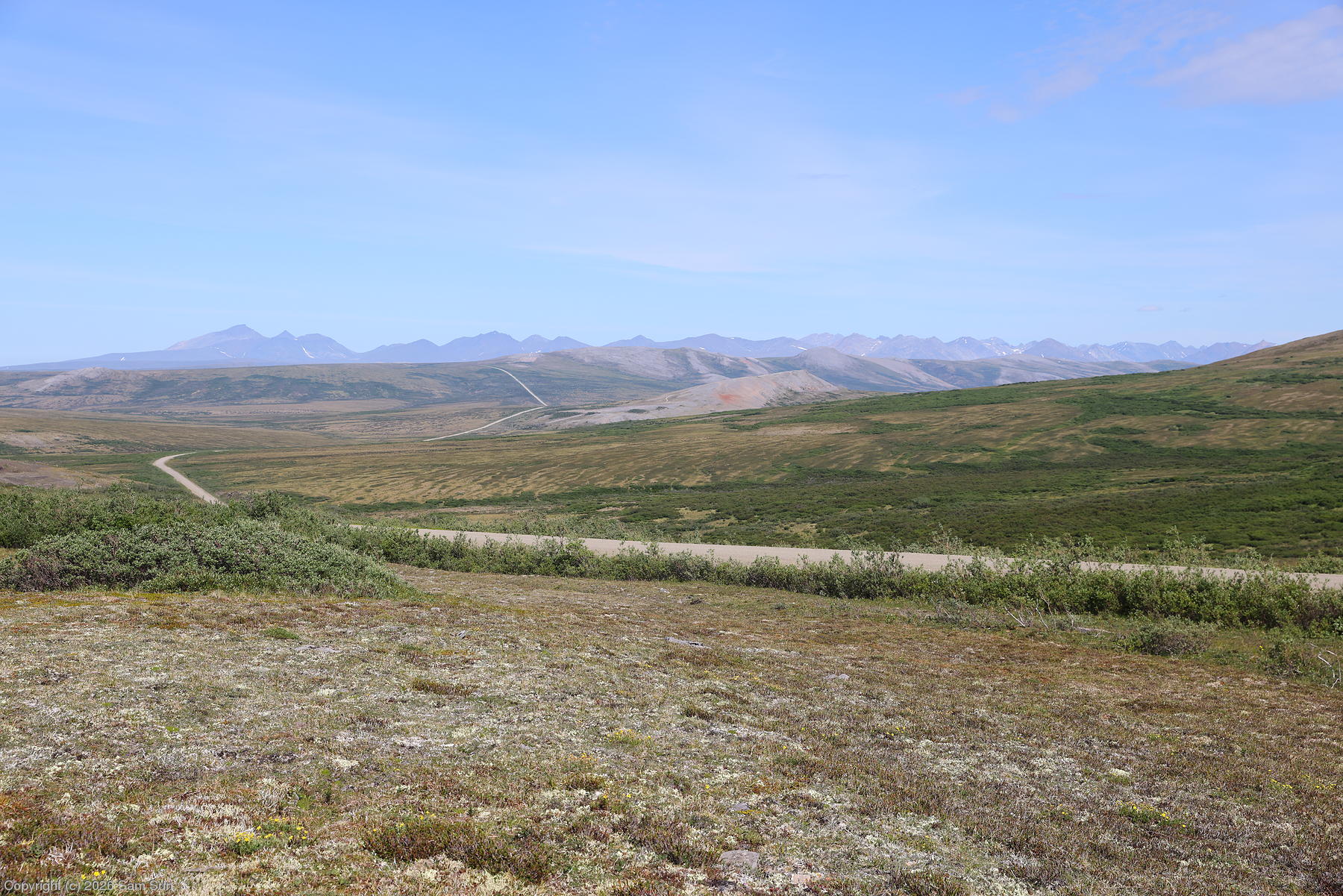
There are three gravel roads out of Nome: Kougarok Road (ostensibly to Taylor, but stops 25 miles short at the Kougarok River), and roads to Teller and Council. Each one is roughly 70 miles long, and well enough maintained that 55mph is possible for most of the trip. In theory, a round trip could be done in less than 3 hours. However, with frequent stops to look around, each was essentially an all day trip for me.
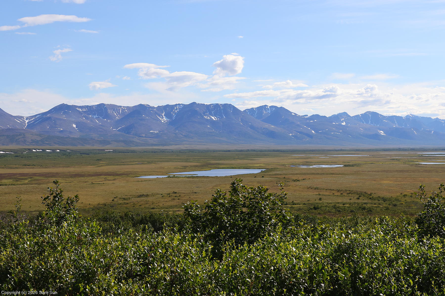
After returning from my flight over Wales, I elected to explore Kougarok Road first. I was amused by some ptarmigans sitting in crossing the road. They were creeping across at a glacially slow pace, as if to avoid attracting attention. There was a lot of ptarmigan roadkill in that area! :(
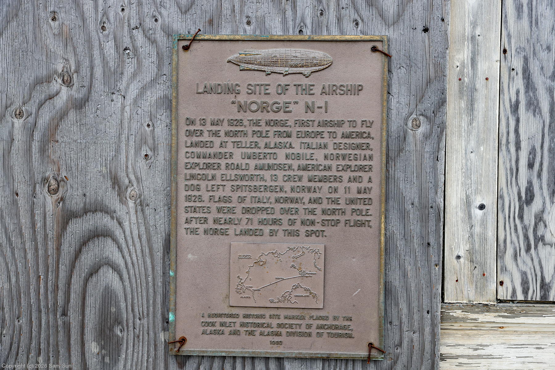
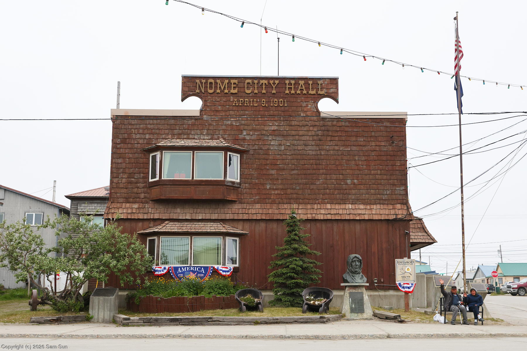
The next day, I drove Nome-Teller Road, also known as the Bob Blodgett Highway. The road wound through scenic rolling hills and the occasional river crossing, and was surrounded by low growth tundra. Teller itself is primarily a subsistence fishing and hunting village. Of aeronautical note, I happened upon a plaque on the side of the deserted Teller Trading Co. building that commemorated the first verified flight over the North Pole, that of the airship Norge in 1926. (Coincidentally, Barry Schiff mentions this flight in his column in the Sep 2026 issue of AOPA Pilot.)
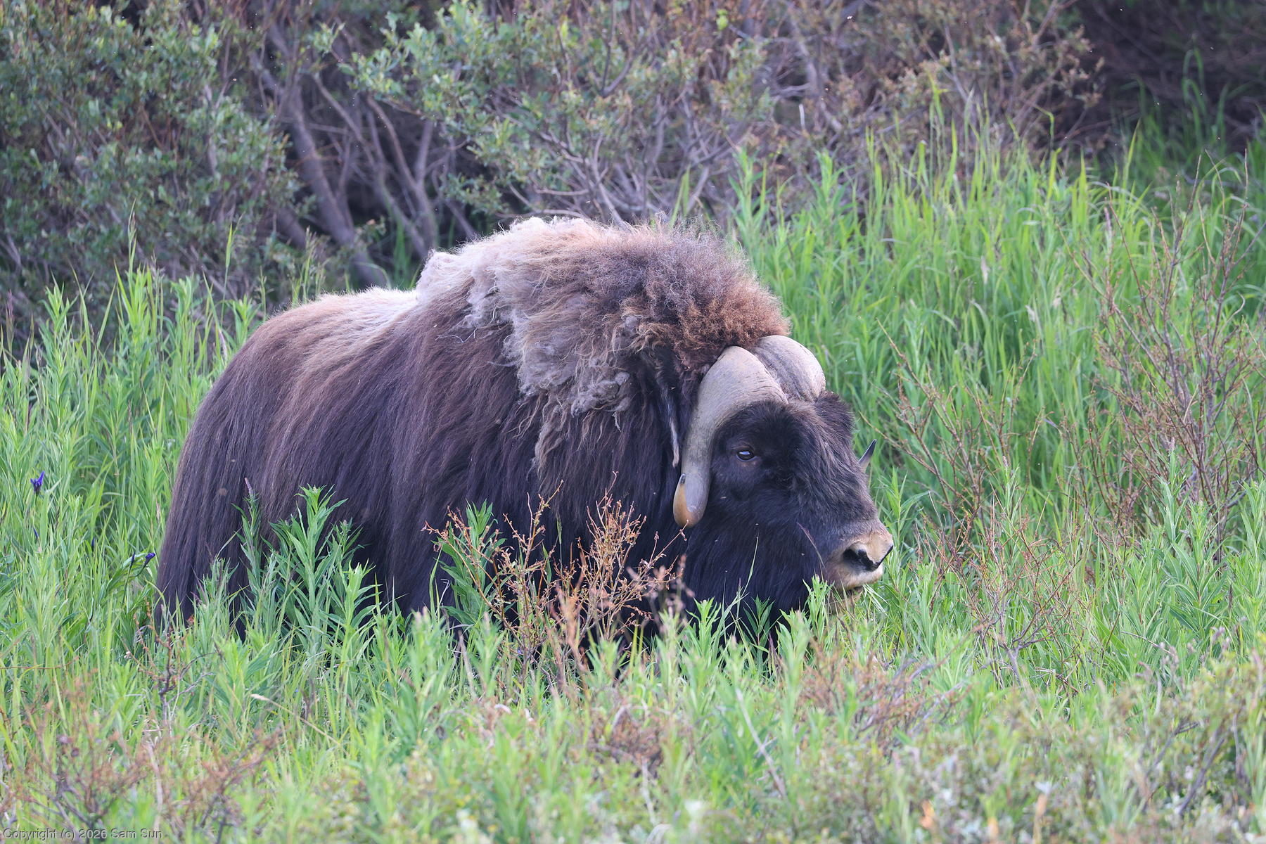
I had seen a couple muskoxen in the distance on my drives, but just outside town in the evening I came across one grazing right by the side of the road. A relic of the Ice Age, muskoxen were hunted to local extinction in Alaska in the late 1800's. A reintroduction campaign started in the 1930's saw muskoxen back on the Seward Peninsula by the 1970's, where the population has been slowly growing.
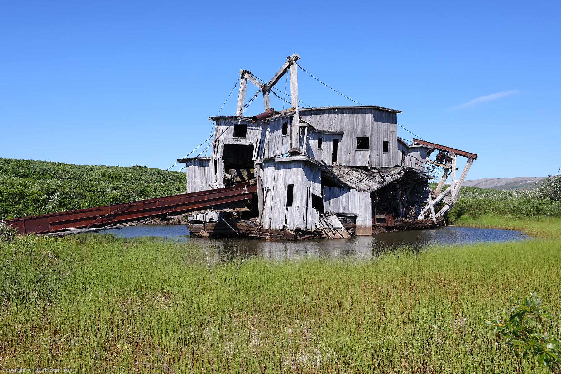
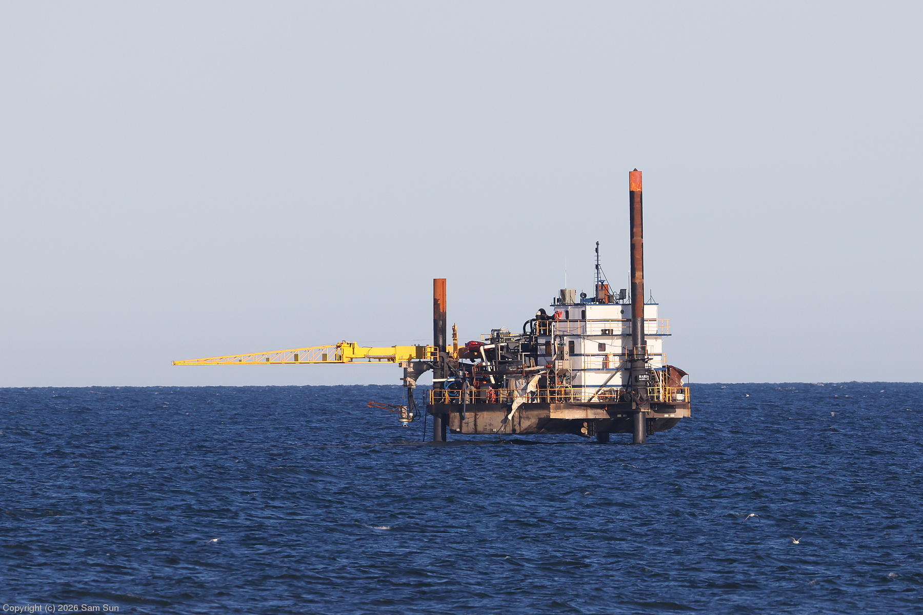
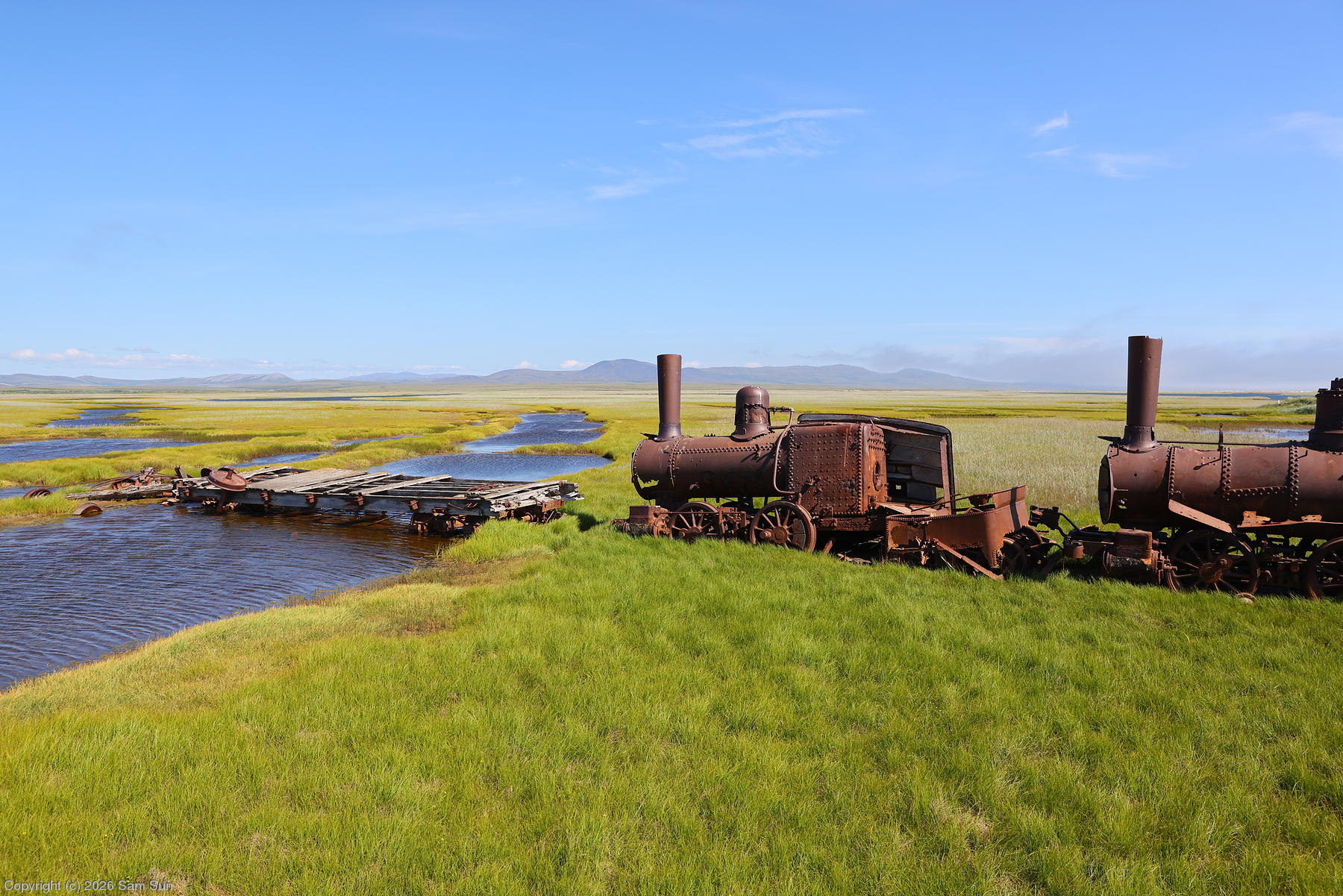
On my last full day in Nome, I drove the Nome-Council Road. This road followed the shoreline out past Safety Sound to Solomon, then inland into hills where the tundra slowly gave way to boreal forest. Though not as obvious as at Dawson City, signs of the Nome gold rush linger across the landscape. Abandoned dredges lie in some of the creek beds. The "Last Train to Nowhere" at Solomon is a collection of rusting locomotives dating back to the era. As with Dawson, mining continues to this day. What I thought looked like a small offshore oil platform was actually a suction dredge gold mining barge.
| Kigluaik Mountains from Kougarok Road |
 |
| Nome-Taylor Road |
 |
| Flight of the Norge |
 |
| Muskox |
 |
| An old dredge |
 |
| Offshore suction mining platform |
 |
| Last Train to Nowhere |
 |
| Nome City Hall |
 |
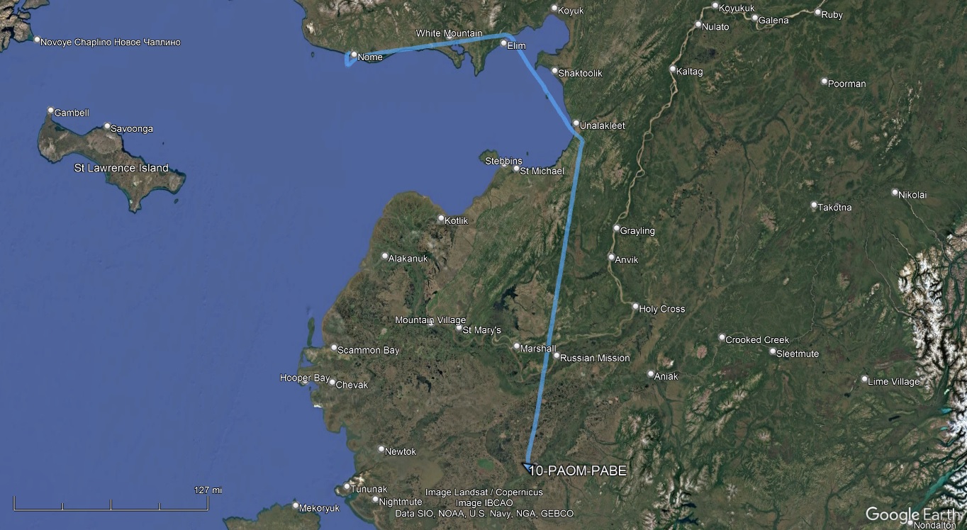
My first leg of the day to Bethel saw me filing IFR for the first time in Alaska due to a low cloud layer around Nome. Icing wasn't a concern as the tops were only a couple thousand feet up, well below the freezing level, but the 80nm of open water across Norton Sound was, so I planned a circuitous route (PAOM OME T396 HALUS T367 JERDN T275 BET PABE), adding 90nm to what was otherwise only 250nm direct.
Departure procedures were routine for an uncontrolled airport - call Fairbanks FSS via the RCO frequency for clearance, announce on CTAF for the departure, and then call Anchorage Center once airborne. FSS also monitors the CTAF, but the RCO is used for clearance delivery to reduce frequency congestion. After departure, Center asked if I wanted to stay on my flight plan route or go more direct, and I stuck to the long way around. Due to the undercast, there wasn't much to see until the clouds broke up approaching Bethel.
At Bethel, I wasn't surprised to find I was without cell service again, and again resorted to the satphone to call the fuel truck.
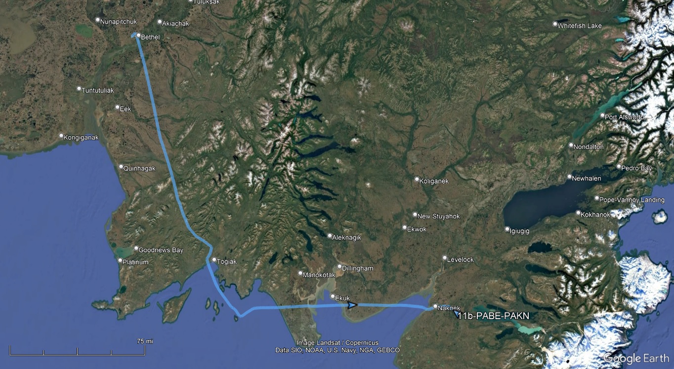
My second leg of the day from Bethel to King Salmon was also a circuitous route, this time for sightseeing. With the undercast gone and only some high clouds on the route, I let the IFR flight plan I filed earlier lapse and departed VFR.
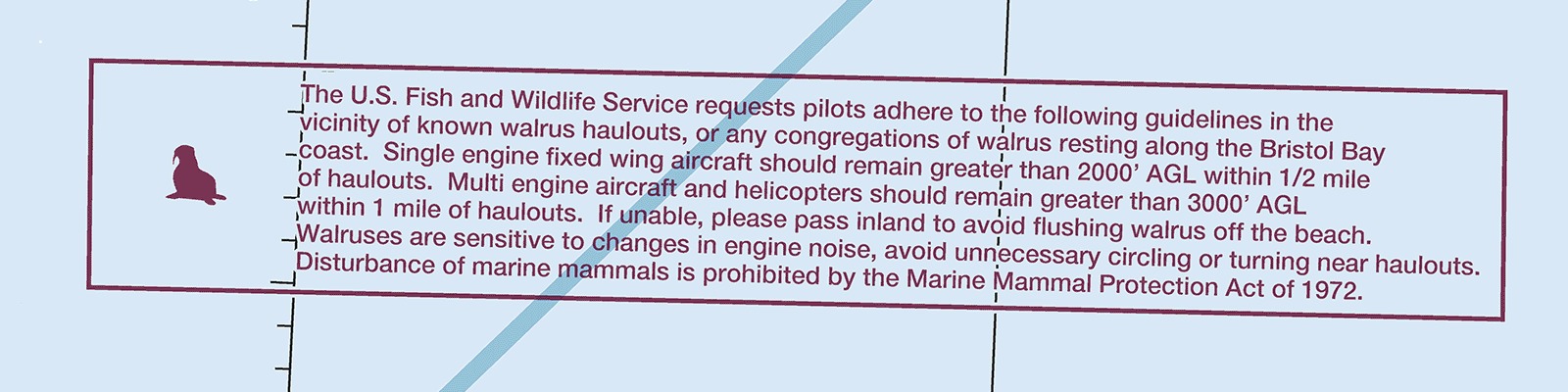
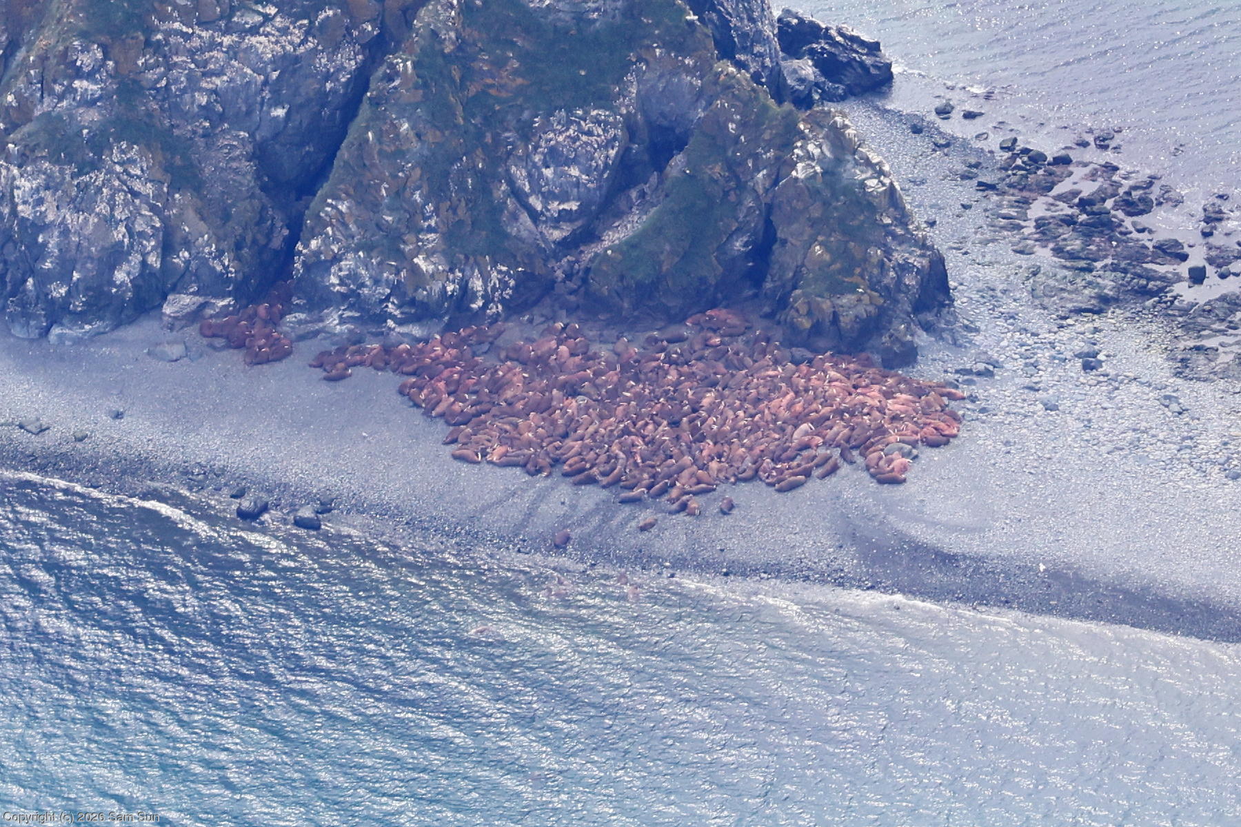
When I was looking for interesting places to visit on this trip, I found out that the southwest coastline of Alaska is home to a few walrus haulouts. Walrus on land are sensitive to disturbance, and the established haulouts were generally all in remote and difficult to access areas. They rate a special symbol on sectional charts, accompanied by a request to fly no lower than 2000' within 1/2 mile of known haulout locations.
| Walrus on the sectional chart |
|
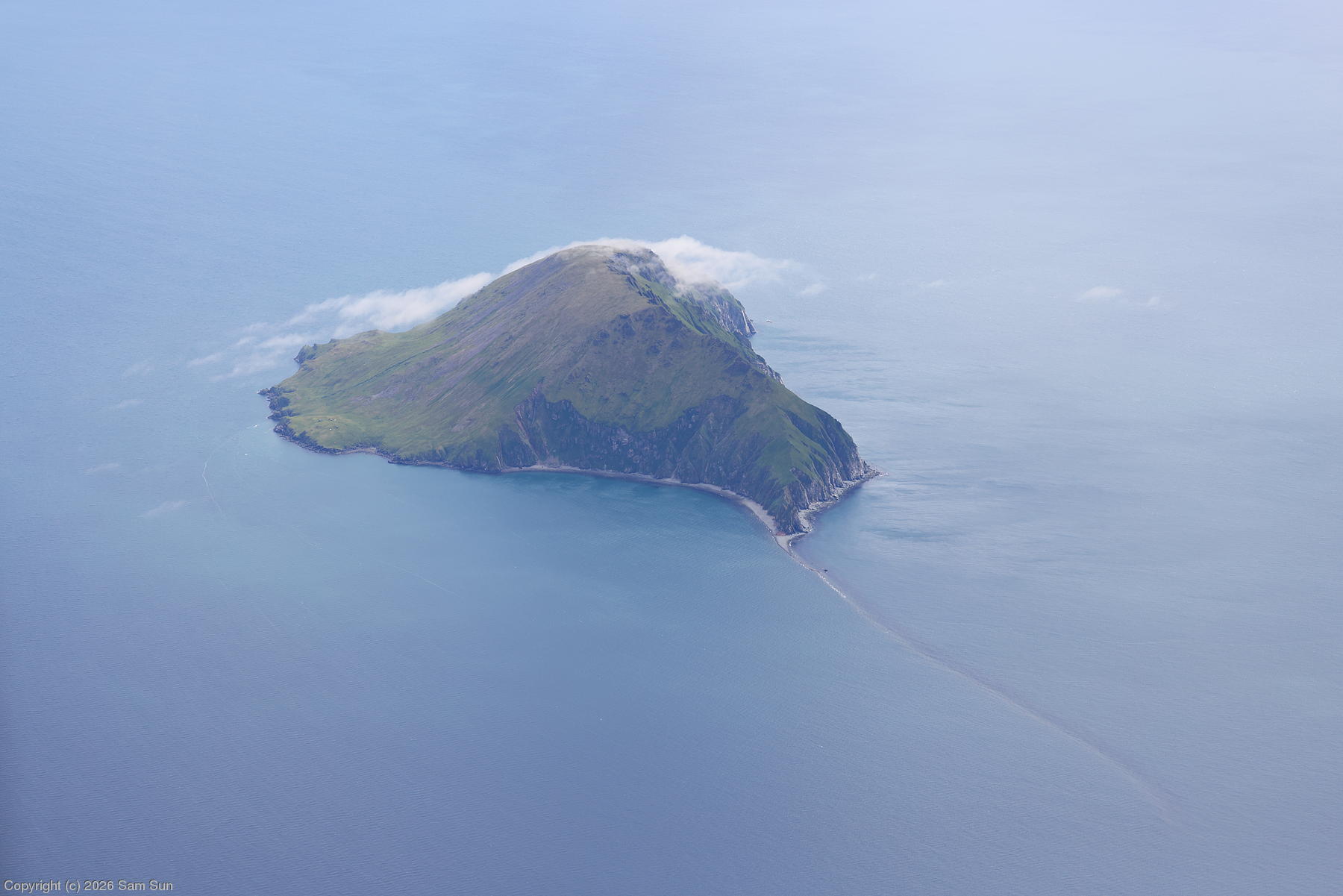
One of the better known haulouts is Round Island, designated as a state game refuge. Access is by boat only, and Togiak River Lodge is apparently the only transportation vendor that provides regular service to the island. Scheduling generally requires at least an overnight stay at one of the primitive campsites on the island. I was tempted to try it, but being much more of a glamper than a camper, and with abundant warnings that weather and sea conditions could lead to an unplanned extended stay on the island, I looked for other options, which eventually led me to the Wildman Lodge booking.
Still, curious about Togiak and Round Island, I took the opportunity to overfly the area to have a look. As a game sanctuary, Round Island requests no overflights below 5000' within 3 miles. I proceeded at a conservative 7500', in part to preserve the ability to glide to the mainland about 10 miles away. From there, I turned east, crossing a couple bays before descending into King Salmon.
After the logistical hassles on the ground at Dawson City and Nome, I was pleased to have things go smoothly at King Salmon. For this one night layover before catching a charter flight to Wildman, I had booked one of the last available rooms in town at King Salmon Lodge. It was pricey, but their service made it worthwhile. The hostess said she'd watch for my arrival on Flightaware to have a shuttle pick me up at the airport. By the time I finished fueling and tied down, I noticed a likely looking vehicle waiting in the parking lot. It was a short ride to the lodge situated on the bank of the Naknek River, where the lodge dinner that evening was excellent.
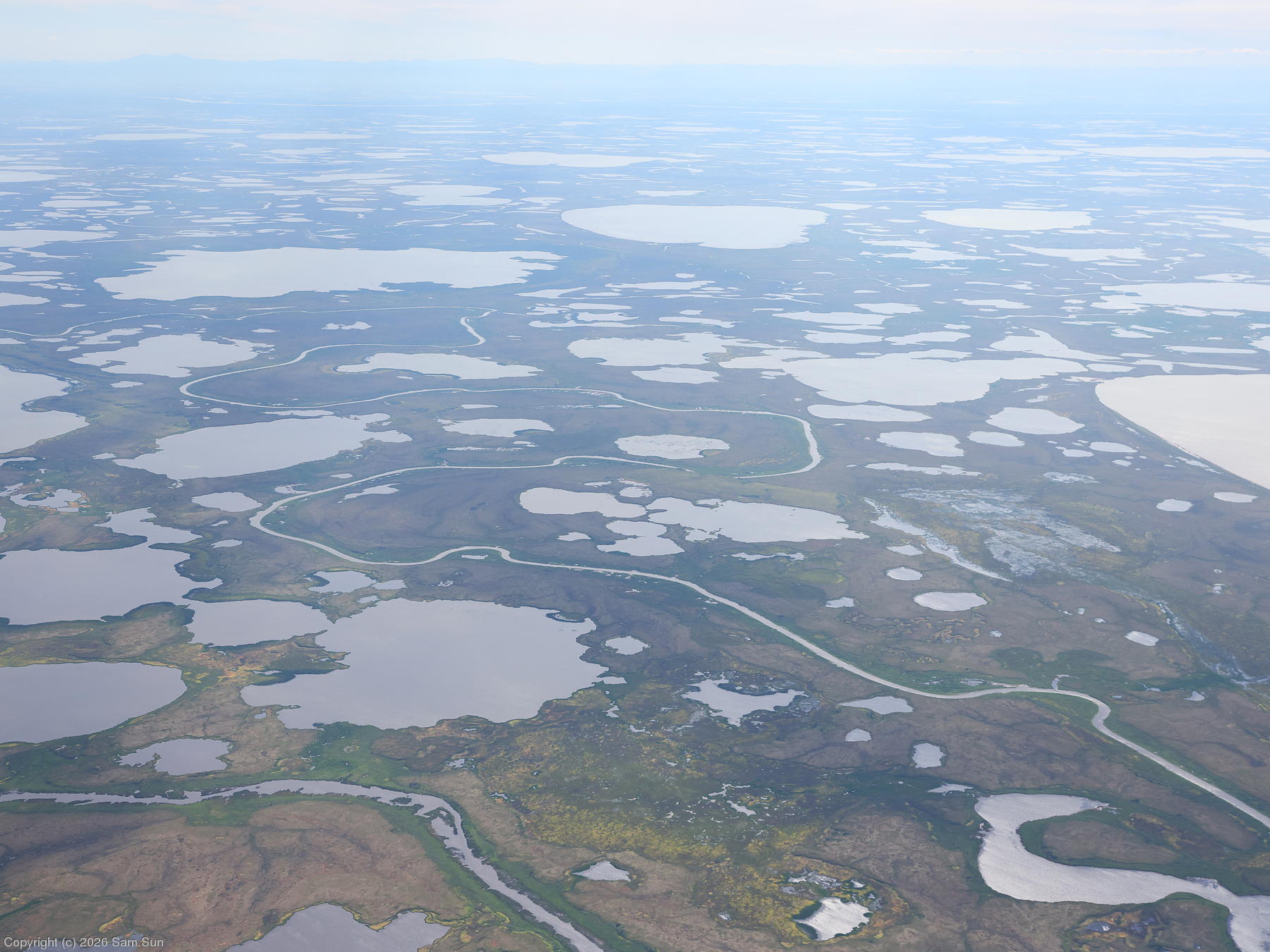
| Johnson River, about 45 miles north of Bethel |
 |
| Round Island |
 |
| Round Island walrus haulout |
 |
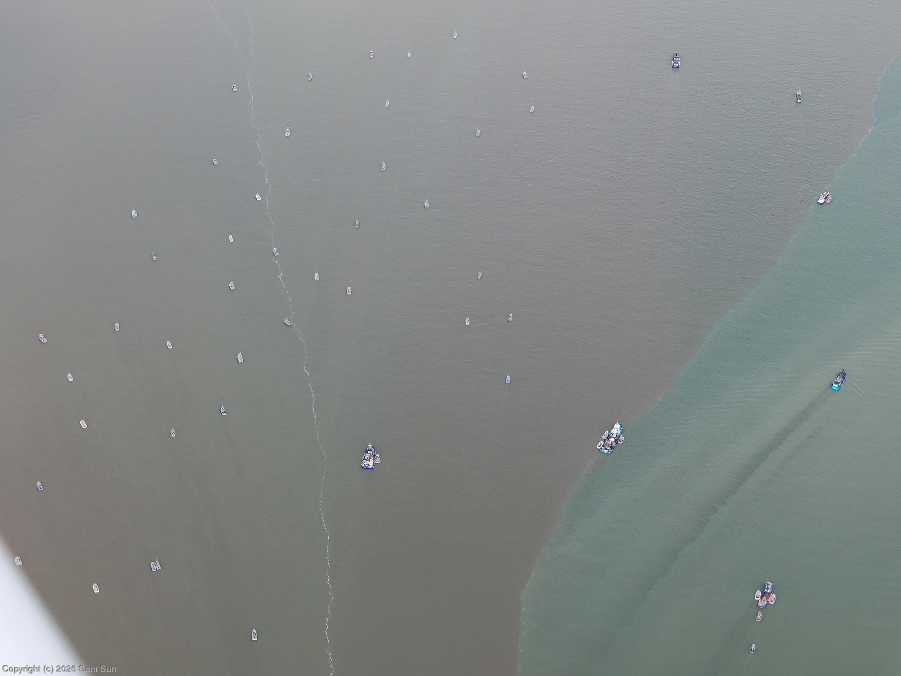
| Fishing boats near Naknek |
 |